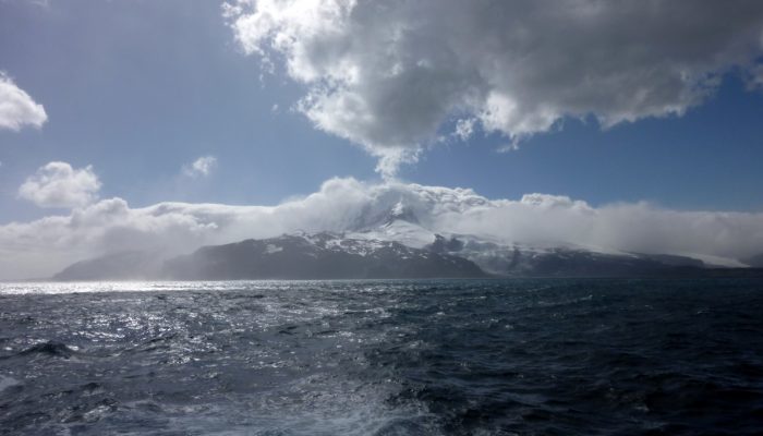
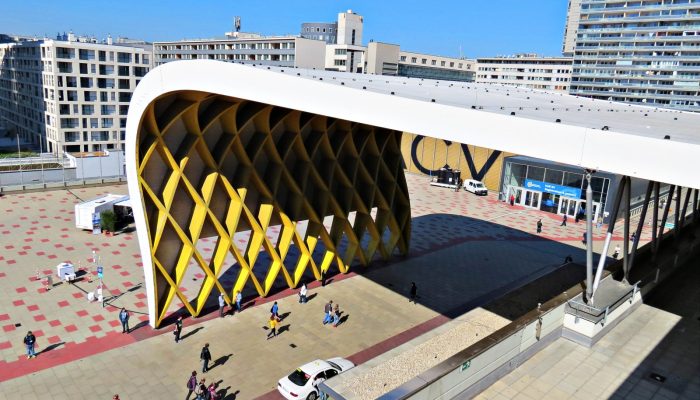
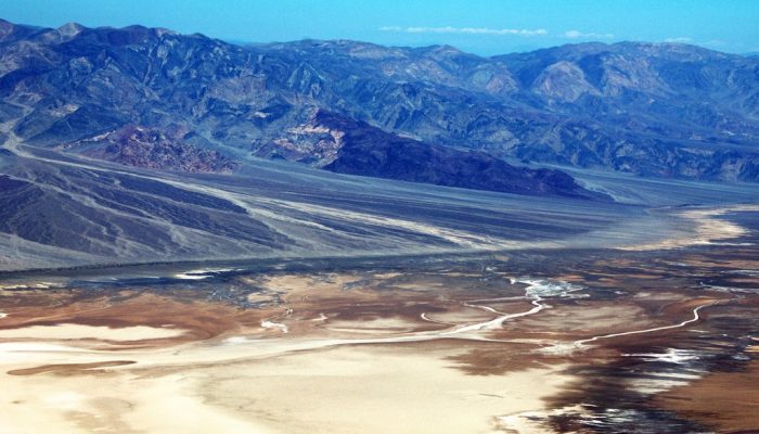
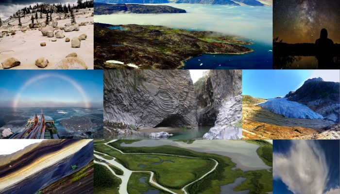
Imaggeo, our open access image repository, is packed with beautiful images showcasing the best of the Earth, space and planetary sciences. Throughout the year we use the photographs submitted to the repository to illustrate our social media and blog posts. For the past few years we’ve celebrated the end of the year by rounding-up some of the best Imaggeo images. But it’s no easy task to pick which ...[Read More]
Imaggeo on Mondays: Ice drilling
This week’s Imaggeo on Monday’s post, captured by Maksim Cherviakov, shows students from Saratov National Research University practicing a method to measure lake ice thickness. The students are using an ice auger to manually burrow through the ice. Afterwards, the ice depth is recorded using a tape measure. “We measure ice thickness every year on the lakes located in the floodplain of the Vo ...[Read More]
Imaggeo on Mondays: “Vancouver! Vancouver! This is it!”
On May 18th 1980 Mount St Helens (an active stratovolcano of the Cascades located in the North West US), erupted explosively following a magnitude 5.1 earthquake. The quake triggered a devastating landslide which swept away the volcano’s northern flank – in what is the largest debris avalanche recorded on Earth to date. Removal of a section of the edifice depressurised the volcano’s magmatic ...[Read More]
Imaggeo on Mondays: The shrinking of Earth’s saltiest lake
The Dead Sea is one of the saltiest lakes on Earth, located at the lowest point of the globe. For centuries it has been known for the restorative powers of its muds and waters. Their hypersalinity means it is possible to easily float on the lake’s surface. Bordering Israel, the West Bank and Jordan, it is a unique environment in an otherwise arid region. Changing climate, which is seeing tempera ...[Read More]