An ever growing population means the requirement for resources to fuel our modern lifestyles grows too. Be it in mining, oil/gas extraction or the improvement of renewable technologies, the boundaries of where and how we access resources are constantly being pushed. Previously inaccessible resources become viable prospects as demand increases and our technological know-how advances. Hand in hand w ...[Read More]
Geosciences Column: Earthquakes and depleted gas reservoirs; what comes first?
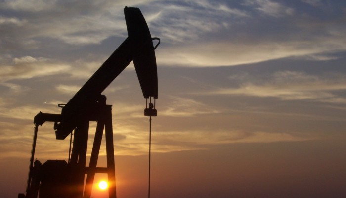
"West Texas Pumpjack" by Eric Kounce TexasRaiser - Located south of Midland, Texas. Licensed under Public Domain via Commons.