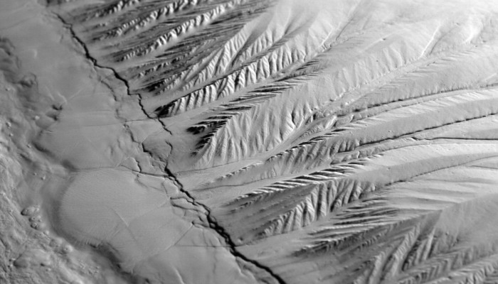
The selection committee received over 400 photos for this year’s EGU Photo Contest, covering fields across the geosciences. The fantastic finalist photos are below and they are being exhibited in Hall X2 (basement, Brown Level) of the Austria Center Vienna – see for yourself! Do you have a favourite? Vote for it! There is a voting terminal (also in Hall X2), just next to the exhibit. The results w ...[Read More]
Imaggeo on Mondays: recreating geological processes in the lab

Many of the processes which take place on Earth happen over very long time scales, certainly when compared to the life span of a person. The same is true for geographical scale. Many of the processes which dominate how our planet behaves are difficult to visualise given the vast distances (and depths) over which they occur. To overcome this difficulty, scientists have developed and resorted to a n ...[Read More]
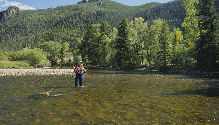
GeoTalk: Fishing meets science with waders and smartphones

Dutch and American researchers have developed waders equipped with temperature sensors that enable fly-fishers to find the best fishing locations while collecting data to help scientists study streams. The research is published today (29 February) in Geoscientific Instrumentation Methods and Data Systems (GI), an open access journal of the European Geosciences Union. In this GeoTalk interview we t ...[Read More]
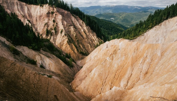
Imaggeo on Mondays: The Groapa Ruginoasa

The Apuseni National Park, in Romania, is a geoscientists paradise. This 187,000 acre Park in the Western Carpathians boasts caves, deep valleys and gorges, karst landscapes, rocky steep walls and underground watercourses. The sheer beauty of the landscape is captured in today’s Imaggeo on Mondays image featuring the Groapa Ruginoasa, a deep sandstone ravine. “Locality names of morphol ...[Read More]
