GeoLog

Hydrological Sciences

Imaggeo on Mondays: Sedimentary record of catastrophic floods in the Atacama desert

Imaggeo on Mondays: Sedimentary record of catastrophic floods in the Atacama desert

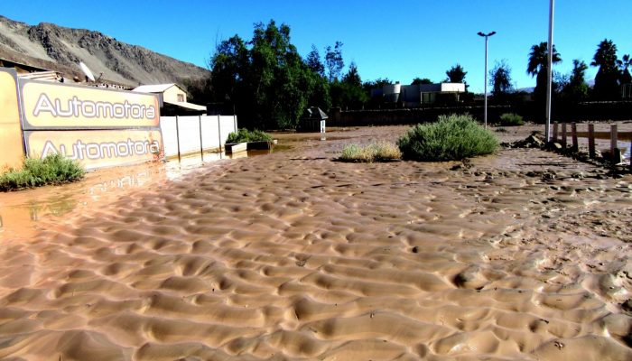
Despite being one of the driest regions on Earth, the Atacama desert is no stranger to catastrophic flood events. Today’s post highlights how the sands, clays and muds left behind once the flood waters recede can hold the key to understanding this natural hazard. During the severe rains that occurred between May 12 and 13, 2017 in the Atacama Region (Northern Chile) the usually dry Copiapó R ...[Read More]

Imaggeo on Mondays: Sneaking up from above

Imaggeo on Mondays: Sneaking up from above

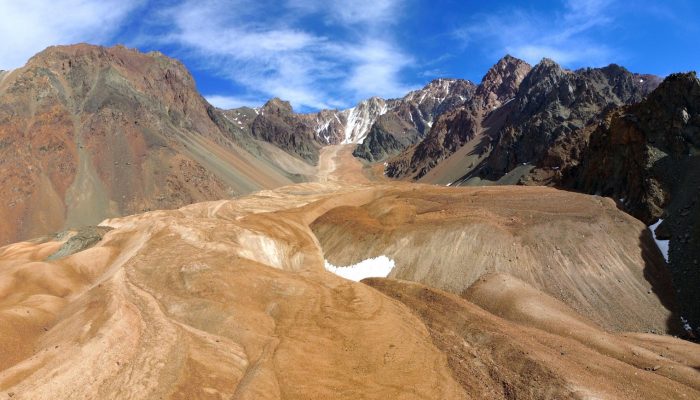
Take some ice, mix in some rock, snow and maybe a little mud and the result is a rock glacier. Unlike ice glaciers (the ones we are most familiar with), rock glaciers have very little ice at the surface. Looking at today’s featured image, you’d be forgiven for thinking the Morenas Coloradas rock glacier wasn’t a glacier at all. But appearances can be misleading; as Jan Blöthe (a researcher at the ...[Read More]

April GeoRoundUp: the best of the Earth sciences from the 2017 General Assembly

April GeoRoundUp: the best of the Earth sciences from the 2017 General Assembly

This month’s GeoRoundUp is a slight deviation from the norm. Instead of drawing inspiration from popular stories on our social media channels and unique or quirky research featured in the news, we’ve rounded up some of the stories which came out of researcher presented at our General Assembly (which took place last week in Vienna). The traditional format for the column will return in May! Major st ...[Read More]

Geosciences Column: The dangers of an enigmatic glacier in the Karakoram

Geosciences Column: The dangers of an enigmatic glacier in the Karakoram

Nestled among the high peaks of the Karakoram,  in a difficult to reach region of China, lies Kyagar Glacier. It’s trident-like shape climbs from 4800 to 7000 meters above sea level and is made up of three upper glacier tributaries which converge to form an 8 km long glacier tongue. Until recently, it’s remoteness meant that studying its behaviour relied heavily on the acquisition of data by satel ...[Read More]