Sandwiched between the U.S states of Mayland, Delaware, Pennsylvania, New York State, the District of Columbia and Virginia, lies Chesapeake Bay, the largest estuary in North America. It is of huge ecological importance: “the bay, its rivers, wetlands and forests provide homes, food and protection for countless animals and plants”, says the Chesapeake Bay Program. Up to 150 major rivers and stream ...[Read More]
Imaggeo on Mondays: Isolated atoll
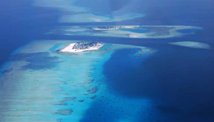
Covering a total area of 298 km², the idylic natural atolls and reefs of the Maldives stretch across the Indian Ocean. The tropical nation is famous for it’s crystal clear waters and picture perfect white sand beaches, but how did the 26 ring-shaped atolls and over 1000 coral islands form? Coral reefs commonly form immediately around an island, creating a fringe which projects seawards from the sh ...[Read More]
Imaggeo on Mondays: A prehistoric forest
This stunning vista encompasses the south-western wilderness of Tasmania as seen from the Tahune air walk 60 m above the Huon river valley. In front lies the beginning of a huge UNESCO World Heritage Site, covering almost a fourth of the area of Tasmania. The site mostly consists of a pristine, temperate rainforest of Gondwanan origin that is home to the tallest flowering trees in the world; Eucal ...[Read More]
Imaggeo on Mondays: Viñales Valley
From last week’s unusual desert landscape to this week’s lush valley in Cuba… The picture shows the Vinales Valley, a karstic depression with mogotes in western Cuba. Karst is the general term for landscapes formed when limestone is disolved by carbonic acid, in rain water. This leads, in particular, to the formation of an underground network of caves and rivers. In the tropics, ...[Read More]