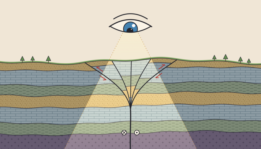
For structural geologists, and for geoscientists in general, most analyses ultimately come down to one thing: imaging the Earth in 3D. Imagine you are studying a major fault zone. You measure its geometry (strike and dip) in the field, and these measurements feed a variety of analyses: mapping, paleostress, kinematics. But all of this …[Read More]
How can we look deep down into the subsurface without expensive surveys?