“SENSOR” – stands for Seismological Experiments, Network Systems, Observations and Recovery
In this blog series, curated by Chiara Civiero, we share news about recent or upcoming seismic experiments around the globe!
Could you explain what your project is about?
As part of the Advanced Mining Technology Center (AMTC) from Universidad de Chile, the Geological Resources Exploration, Characterization & Modeling Lab is mainly focused on the identification of critical factors contributing to the genesis and emplacement of large ore deposits. By using a large and mobile temporary seismic network and geophysical techniques such as local earthquake tomography and electrical methods, we aim to image large portions of Chile to characterize the physical properties of the subsurface and shed light on the seismotectonic characteristics of the country and their relation with the distribution of mineral deposits.
Project area
Where is your study area? What do you want to know there?
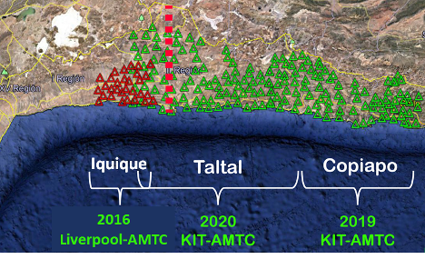
Currently, the group has three projects related to deriving and updating high-resolution 3D seismic velocity models in northern Chile, from Iquique to Coquimbo. These areas have been affected not only by large megathrust earthquakes such as the M8.1 in Iquique in 2014 and the M8.3 in Illapel in 2015 but also by several seismic swarms. Therefore, by benefiting from our dense instrumentation installed in 2016, 2019 and 2020, we aim to know better what causes this sort of segmentation along the margin, what are the influences of the bathymetric features on the rupture length and how are the large faults in the overriding plate responding to the stress caused by the subduction process. Moreover, the analysis of the updated Vp/Vs models can be associated with the distribution of ore deposits providing relevant information for further mining exploration.
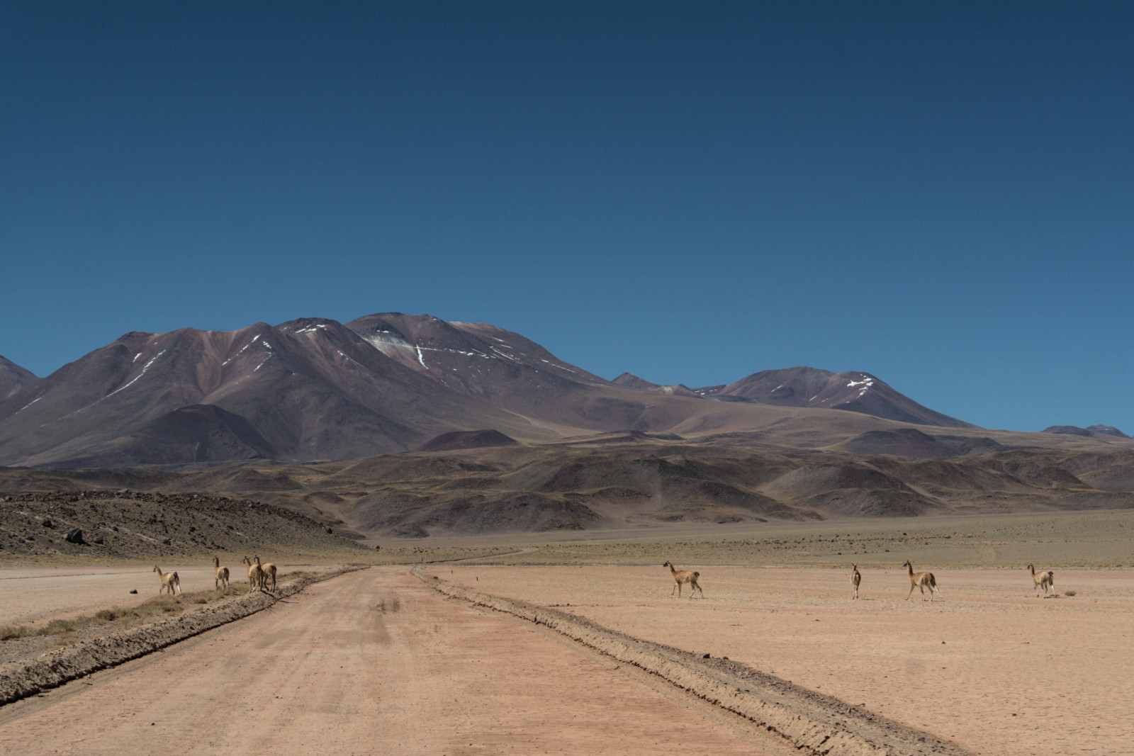
Llamas in Northern Chile.
What type of geophysical instrument did you deploy?
We used seismic stations composed of a PE-6B short period (4.5 Hz), three-component sensors made by SENSOR Nederland, together with a 32 GB DATA-CUBE 3 datalogger from DIGOS and a pair of 9V alkaline batteries from PATURA. This equipment was provided by the Geophysikalisches Institut from the Karlsruher Institut für Technologie of Germany (GPI-KIT) and operated by the installation team from AMTC. These instruments stayed in Chile for three years, serving as a mobile array to record the seismic activity in the country.
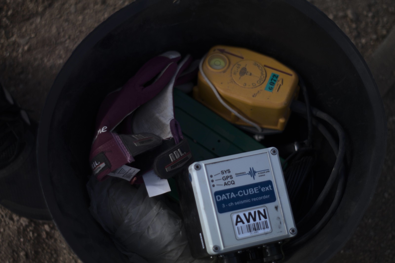
Sensor and Logger.
How did you decide the location of the seismic deployment? How many stations did you install?
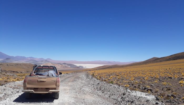
Because large portions of the areas of interest are located in the middle of the Atacama desert, we had the advantage of low anthropogenic noise and good weather conditions which helped us to avoid previous site scouting. Therefore, the decision of where to deploy the seismic stations was mainly taken by a combination of route accessibility and low visibility of the sensors after the installation. Here, to double and triple check the coordinates in the GPS was crucial for ensuring the recovery of all the sensors.
How difficult is the organization of the fieldwork? What are the operational steps? Any examples of practical challenges in the field?
Fieldwork is never easy and always something has to happen!
For these cases, because these instruments were coming from abroad, the first challenge is to pass the Customs check. Sometimes, this step is easy and smooth but there are occasions in which you have to wait for several weeks to have the instruments ready to go. After you reach that milestone and having planned the locations and chronogram, the second big challenge is the large distances to cover. Here you might think that this is not so critical, but you have to keep in mind the length of Chile (~4500 km). For the Iquique deployment, we drove around 1800 km from the capital Santiago just to get to the place to start with the installation. In the case of the Copiapo deployment, we finished the trip only after covering more than 3700 km in total. Similar distances were covered for the Taltal network, with average temperatures during the day of 30°C.
The good thing is that after all this hard work, the group now has vast experience in this type of fieldwork and the procedures for installation are constantly improved for keeping all of us safe.
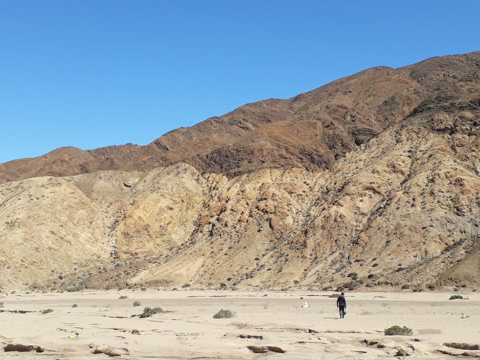
Walking in Northern Chile.
What are you planning to do with the data?
At present, the data is being processed by our team. After a pre-processing that includes the conversion from raw to workable format, the traces are analysed by an automatic phase detector developed by Prof. Dr. Steven Roecker from the Rensselaer Polytechnic Institute (RPI, Troy US). This algorithm gives a first localization of the earthquakes together with the P- and S-arrival times. The dataset will be then used for the determination of seismic velocity models which subsequently will be interpreted using the regional setting.
Do you collaborate with another institution(s)?
We closely work with Prof. Dr. Andreas Rietbrock from the Geophysikalisches Institut at the Karlsruher Institut für Technologie in Germany which has contributed with the necessary instrumentation for the development of these projects. In the US, we have collaboration with Prof. Dr. Steven Roecker from Rensselaer Polytechnic Institute and Prof. Dr. Susan Beck from the University of Arizona, Dr. Haijiang Zhang from University of Science and Technology of China, Dr. Patricia Alvarado from Universidad de San Juan, and Dr. Silvanna Spagnotto from Universidad de San Luis, Argentina.
Are you working with ECS (early-career scientists) in your team?
Yes, we are. Our lab is mainly formed by ECSs, most of them women which is a very good thing to highlight. The staff is composed of two geophysicists M.Sc. Daniela Calle-Gardella and M.Sc. Valentina Reyes-Wagner, plus one PhD student Andrea Navarro-Aránguiz, and one postdoc Dr. Sergio León-Ríos. All of them strongly collaborate in the fieldwork campaigns and also in the data processing.
Why is it important to carry out these studies in Chile?
The application of local earthquake tomography along the Chilean territory contributes not only to better understanding the seismotectonic characteristics but also to better identify the distribution of ore deposits in the country. While the first part can provide relevant information on the seismic hazard in Chile, the second aims to illuminate areas with potential targets of exploration.
How can we protect against future earthquake disasters?
Chilean people have learnt how to protect themselves from earthquakes literally by shaking after shaking. But it is also a good time to remember that earthquakes cannot be predicted and that the only protection for these types of events is to have a plan. The scale changes but the idea remains: a good family plan for what to do during and after an earthquake, where to meet, what is important to have in the emergency bag; a good local plan for evacuation and risk mitigation, and a good governmental plan for emergency management that includes listening to scientists and experts in the field. Disasters are not natural and can be mitigated by doing things in accordance with the context where we live.

From left to right and top to bottom: Daniela Calle Gardella, Sergio Leon Rios, Vale Reyes Wagner, Andrea Navarro Aranguiz, Diana Comte.