EGU Blogs

Division blogs

TS
Tectonics and Structural Geology

Exploring Earth’s interior with analogue models: The case of slow earthquakes
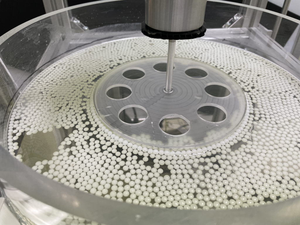
Analogue experimental setup of spherical hydrogel suspension.

Have you ever heard of “analogue modelling”? In solid Earth science, directly observing the Earth’s interior is challenging, and the analogue modelling approach often overcomes this limitation by using alternative systems analogous to natural phenomena. By identifying fundamental mechanisms in these tractable systems, we can apply physical scaling laws to understand processes deep within the …[Read More]

GM
Geomorphology

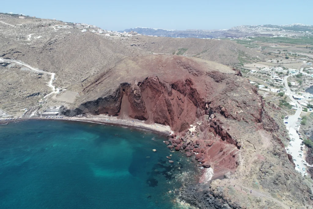
Unveiling Volcanic Slopes: Exploring Landslide Hazards in Santorini Island, Greece

Unveiling Volcanic Slopes: Exploring Landslide Hazards in Santorini Island, Greece

by Stratis (Efstratios) Karantanellis, Professor, Geohazards and Remote Sensing Lab, Department of Geological Sciences at California State University, Fullerton. Email: ekarantanellis@fullerton.edu, website: https://sites.google.com/view/stratiskarantanellis Santorini is one of those places that doesn’t quite feel real at first glance. White houses stacked on cliffs, blue domes, the Aegean stretching out in every direction. But once you step …[Read More]

SM
Seismology

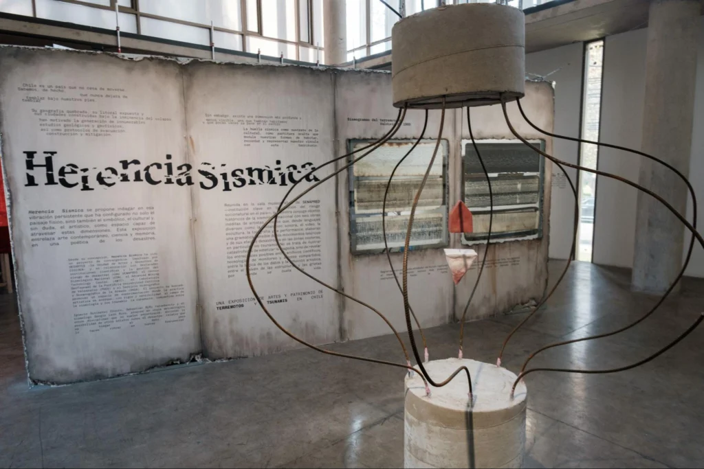
Art, science, and seismic memory

Art, science, and seismic memory

The contribution from Sergio León-Ríos, Associate Researcher at the Advanced Mining Technology Center (AMTC) at the University of Chile, where he does seismology research. Introduction Earthquakes and tsunamis are not only purely scientific geophysical phenomena. They are also deeply embedded in social memory, cultural narratives, and everyday life – especially in countries like Chile, where …[Read More]

ST
Solar-Terrestrial Sciences

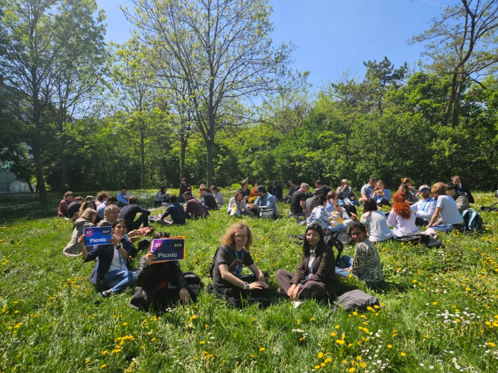
Don’t Miss the EGU-ST Early-Career Scientist Events during EGU26!

Don’t Miss the EGU-ST Early-Career Scientist Events during EGU26!

As the EGU General Assembly (GA) 2026 approaches, the Solar-Terrestrial (ST) Division Early-Career Scientist (ECS) team is organizing various events to give researchers a platform to network with their peers, and strengthen our community! What is ECS? Students (BSc, MSc), PhD candidates and researchers who obtained their highest academic degree in the last seven years …[Read More]

G
Geodesy

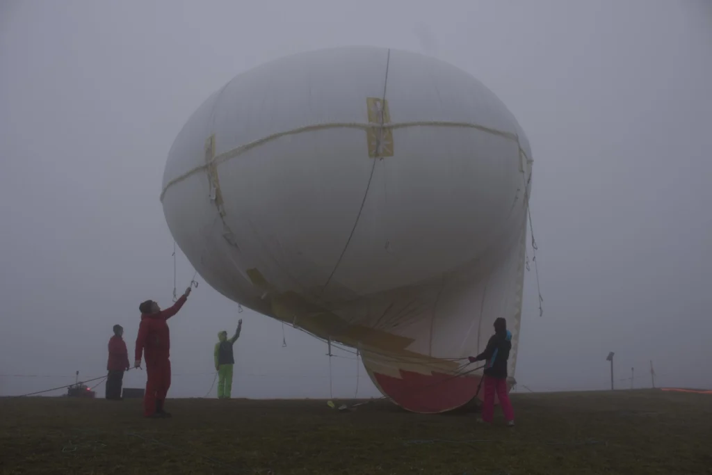
Geodesists on Tour: Circumnavigating Greenland by Helicopter

Geodesists on Tour: Circumnavigating Greenland by Helicopter

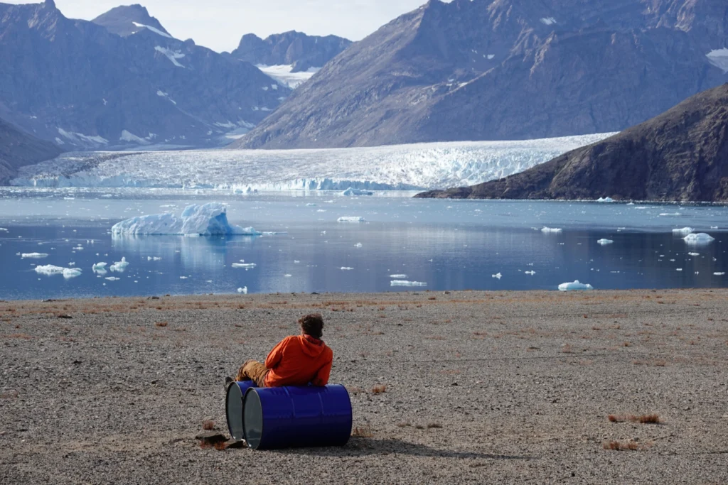
  Greenland, the world’s largest island, has one of the most challenging environments for geodetic measurements. Maintaining GNSS (Global Navigation Satellite Systems) stations here isn’t just about precision – it’s about ensuring data continuity in an area that’s constantly moving. This is the behind-the-scenes story of a 15,000 km journey around Greenland: five weeks of …[Read More]

CR
Cryospheric Sciences

Classroom on Ice: The Patagonian Icefield Research Program

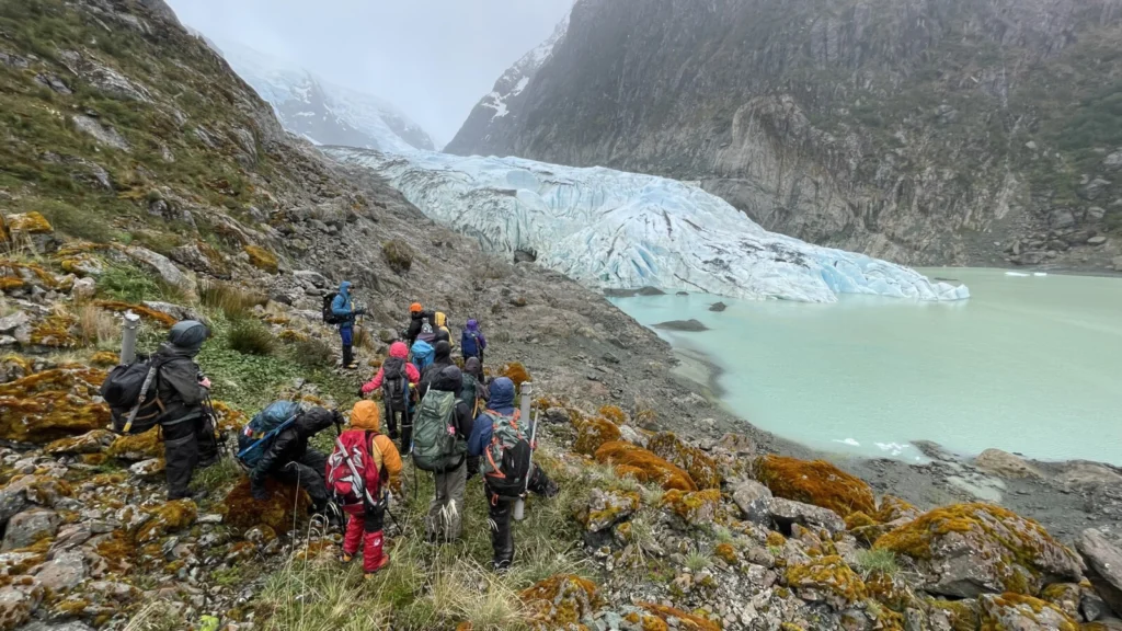
a group of students and staff in hi-vis rain gear pick theri way along a rocky slope towards a glacier

An isolated fjord at the edge of the Southern Patagonia Icefield. A small cluster of tents pitched beside Bernal Glacier. Fourteen days without roads, cell reception, or routine – only creaking ice fronts, restless wind, the constant murmur of meltwater, unrelenting rain, and a team of fellow adventurers as companions. The Patagonia Icefield Research Program …[Read More]

OS
Ocean Sciences

How atmospheric circulation patterns high above the Southern Ocean influence the deepest layers of the global ocean

How atmospheric circulation patterns high above the Southern Ocean influence the deepest layers of the global ocean

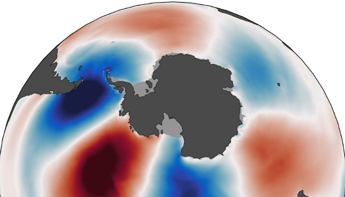
The ocean surrounding Antarctica plays a crucial role in the climate system. Along parts of the Antarctic coast, very cold and salty water becomes dense enough to sink all the way to the ocean floor. This process forms Antarctic Bottom Water: the deepest water mass in the global ocean, representing about 40% of its total …[Read More]