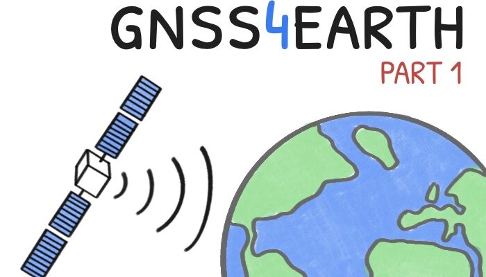
Part 1 – the global case When you check directions on your smartphone or track your morning run, you’re tapping into a global infrastructure that has revolutionized not just navigation, but our understanding of Earth itself. What began as military technology has evolved into powerful scientific tools that confirm longstanding theories and reveal previously unobservable phenomena. In th ...[Read More]
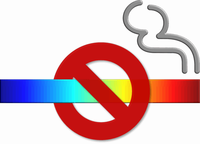
Seeing Geodesy clearly – suitable colours for effective and inclusive visualization
Effective scientific communication of geodetic research often relies on clear visualizations, and colours are needed to make complex data much easier to understand. However, traditional colormaps don’t always provide the needed clarity and can be especially challenging for people with colour-vision deficiencies (CVD). In this post, we will first describe what CVD is and how it is present in academ ...[Read More]
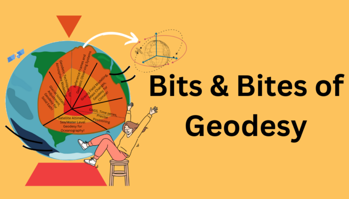
Bits and Bites of Geodesy – Trilateration on Vacation: How GNSS Locates You
Summer vacations are finally here! Like every year, many of us are ready to travel and explore new and exciting destinations. And of course, the GPS on our phones will be an indispensable travel companion! Did you know that GPS (or GNSS) positioning is one of the traditional geodetic techniques? Come along to discover how this technique can find your location in the world and the various applicati ...[Read More]
Want to really understand sea-level rise? Bring in the geodesists!
A remarkably large number of papers and proposals have sentences like “this study is critical to better project future sea-level rise” in their introduction. Most times this is just marketing to trick reviewers and program managers into believing the work is important. On the other hand, geodetic papers and proposals have some compelling reasons to use this statement: a lot of geodetic tech ...[Read More]


