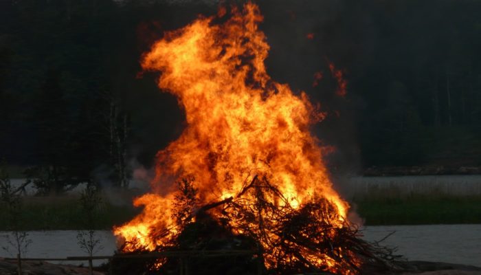
We are excited to announce the 11th edition of Geodesy Campfire – Share Your Research in November. The Geodesy EGU Campfire Events “Share Your Research” give (early career) researchers the chance to talk about their work. We have two exciting talks by our guest speakers, Michela Ravanelli and Michal Cuadrat-Grzybowski. Below, you can find the details of the topics awaiting us. We will have time to network after the presentations.
Please join us on Zoom on May 14th from 10:00 a.m. to 11:30 a.m. (CEST). Register for this webinar here.
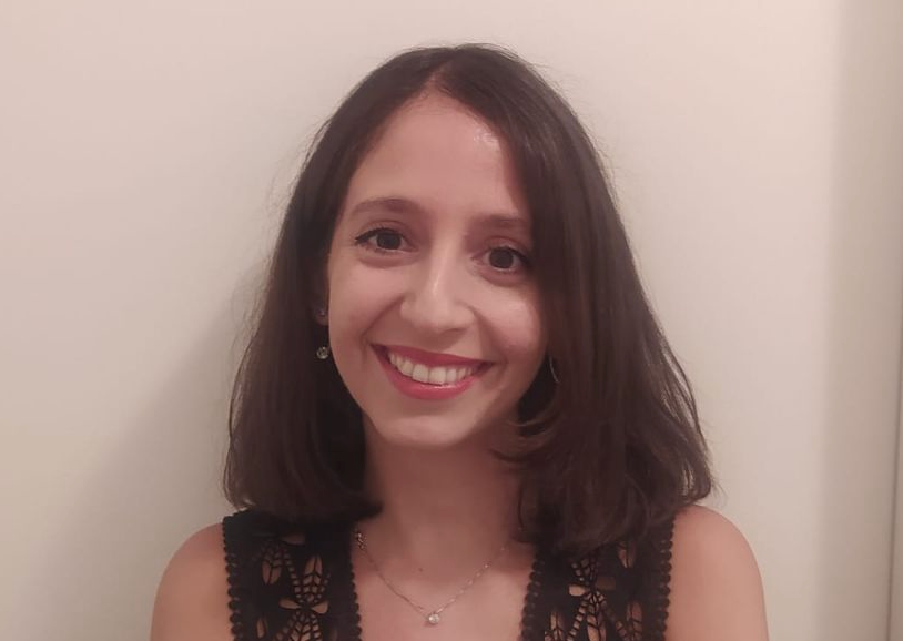 Michela Ravanelli @ Sapienza University of Rome presents:
Advancing GNSS Variometry: From Real-Time Scenarios to Real-Time Implementation for Enhanced Tsunami Early Warning Systems
Michela Ravanelli holds a BSc and MSc in Environmental Engineering and a PhD in Geodesy from Sapienza University of Rome. Currently, as an AXA Research Fund-IOC UNESCO fellow, she focuses on the joint use of real-time GNSS ground and ionospheric observations to improve tsunami early warning systems. Her research encompasses GNSS geodesy, ionospheric sounding, remote sensing, and the use of machine learning, with a focus on natural hazard monitoring and detection. Michela is chair of the Joint Study Group T.36 (High-resolution Probing of the Troposphere and Ionosphere) under the ICCT-IAG and serves as IAG Early Career Scientist (ECS).
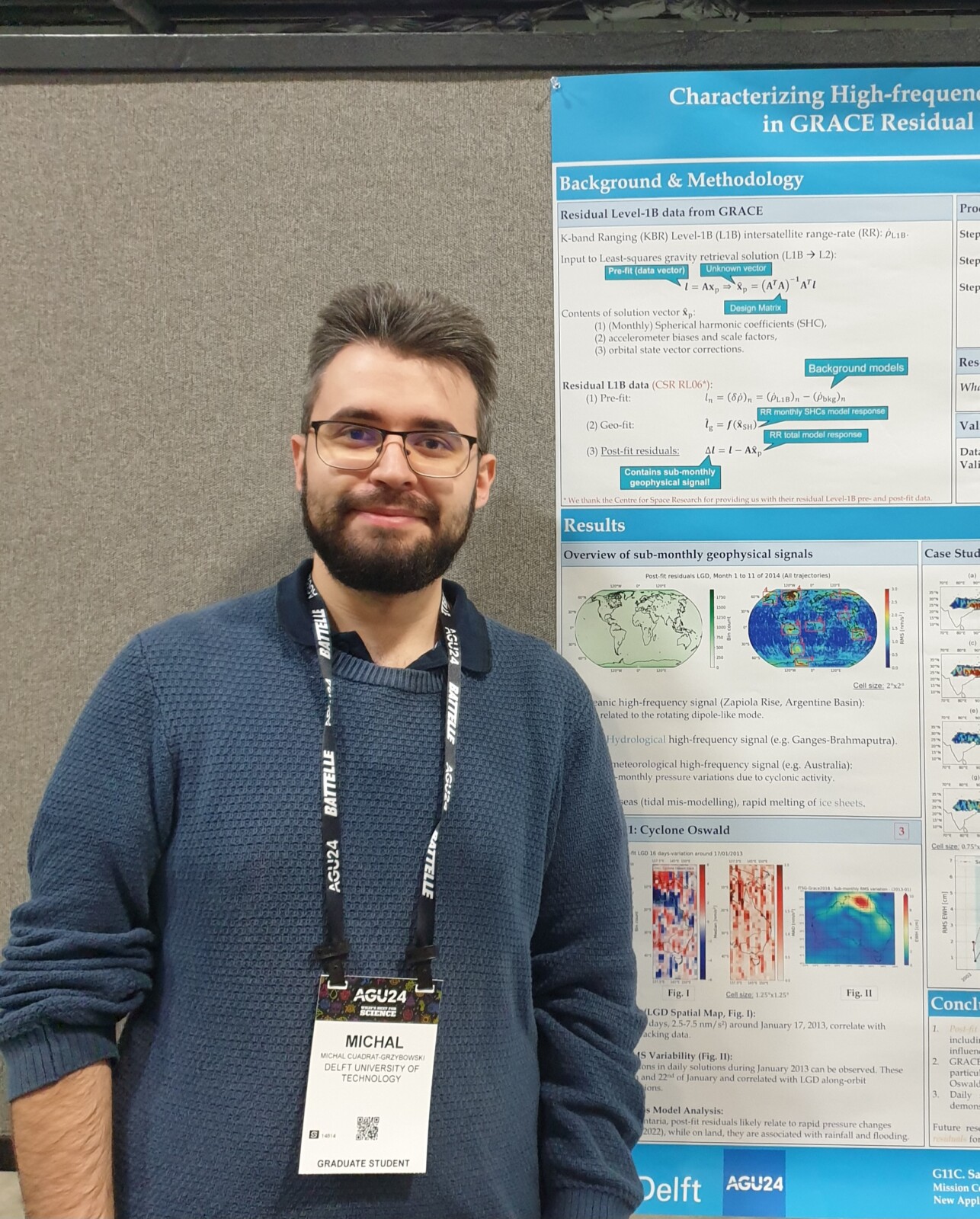 Michal Cuadrat-Grzybowski @ Delft University of Technology presents:
Characterizing High-frequency Gravimetric Content in GRACE Residual Level-1B Data
Michal Cuadrat-Grzybowski is a PhD candidate at Delft University of Technology (TU Delft), where he is developing novel methodologies to create high-frequency mass change models using GRACE and GRACE-FO residual Level-1B data. His research focuses on fully exploiting the spatio-temporal resolution of Level-1B data, rather than relying on traditional Level-2 and Level-3 products, which are subject to well-known trade-offs between spatial and temporal resolution. By bypassing these limitations, his work aims to enhance the accuracy and timeliness of mass redistribution estimates on a global scale.
We are always looking for speakers for the next Geodesy EGU Campfire Events “Share Your Research”. Are you interested in giving a talk? Then, please express your interest by filling out the form: https://forms.gle/tc2vwGehHHb8THrJ7
If you have any questions about the Geodesy EGU Campfire Event, please contact the Geodesy ECS Team via ecs-g@egu.eu.
We look forward to seeing you at the Campfire!