CR
Cryospheric Sciences

Editor post

Image of the Week: Under the Sea

Image of the Week: Under the Sea

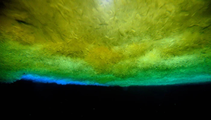
Always wondered how it looks like under the sea ice? Getting an answer is simpler than you might think: Just go out to the front of McMurdo ice shelf in Antarctica and drill a tube into the sea ice. Then let people climb down and take pictures of the ice from below. More information: – …[Read More]

Image of the Week: Greenland Glacier Seen from a Drone

Image of the Week: Greenland Glacier Seen from a Drone

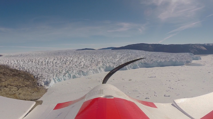
The use of drones or Unmanned Aerial Vehicles (UAVs) is one of the most exciting development in glaciology in recent years. The picture was taken during fieldwork conducted in the summer of 2014 by Johnny Ryan and colleague Nick Toberg. The aim was to survey Store Glacier once a day using a fixed-wing UAV, that was equipped with …[Read More]

Image of Week: Inside the Greenland Ice Sheet

Image of Week: Inside the Greenland Ice Sheet

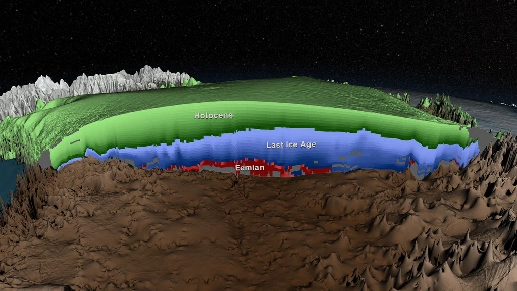
The image shows a cross section of the Greenland Ice Sheet, where a recent study by MacGregor et al. have mapped the layers imaged by radar. Thanks to ice core measurements the age of the layers have been determined, and in the image the layers from the Holocene period (the past 11.700 years) are shown in green. …[Read More]

Image of the Week: Under a Glacier

Image of the Week: Under a Glacier

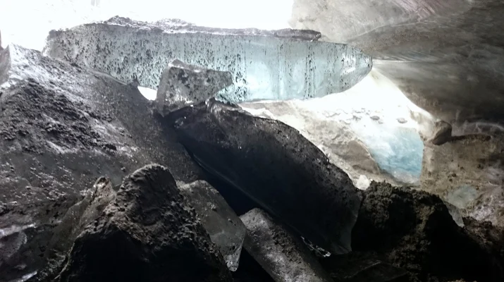
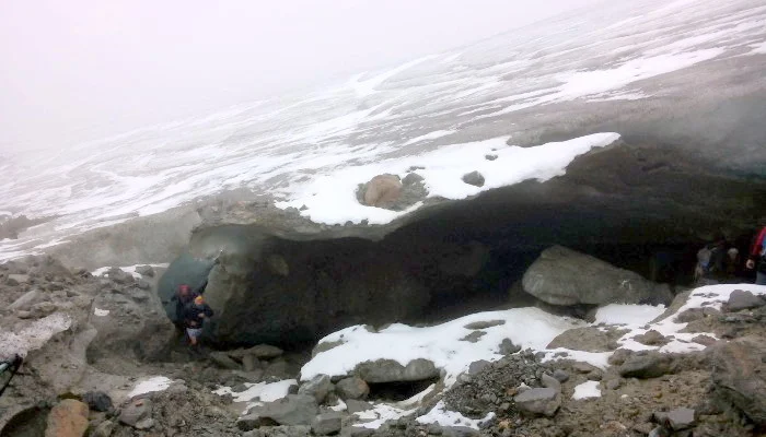
What is happening under a glacier? This is a difficult questions to answer as accessing the glacier bed is usually not that easy. Here, we are getting a rare glimpse of the different processes and materials that are often found at the ice-bed interface. The photograph shows both sediments and hard rock, clear ice and …[Read More]

Image of the Week: Hochjochferner

Image of the Week: Hochjochferner

The margin of the glacier “Hochjochferner” on the border between Austria and Italy. This glacier has been monitored with an Automatic Weather Station for several years by the Institute for Marine and Atmospheric research in Utrecth, NL.It is also the destination of the field trip that takes place during the annual Karthaus summer school in …[Read More]

Image of the Week: GISP II Borehole

Image of the Week: GISP II Borehole

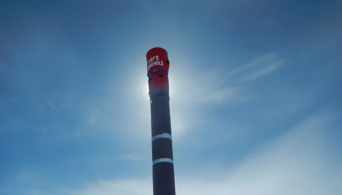
Climate records from ice cores have helped scientists understand the past changes in climate.The GISP II (Greenland Ice Sheet Project Two) ice core was more than 3km long and was drilled during a five year period in the 1990s. After the drilling ended the casing of the borehole was extended above the surface, so that …[Read More]