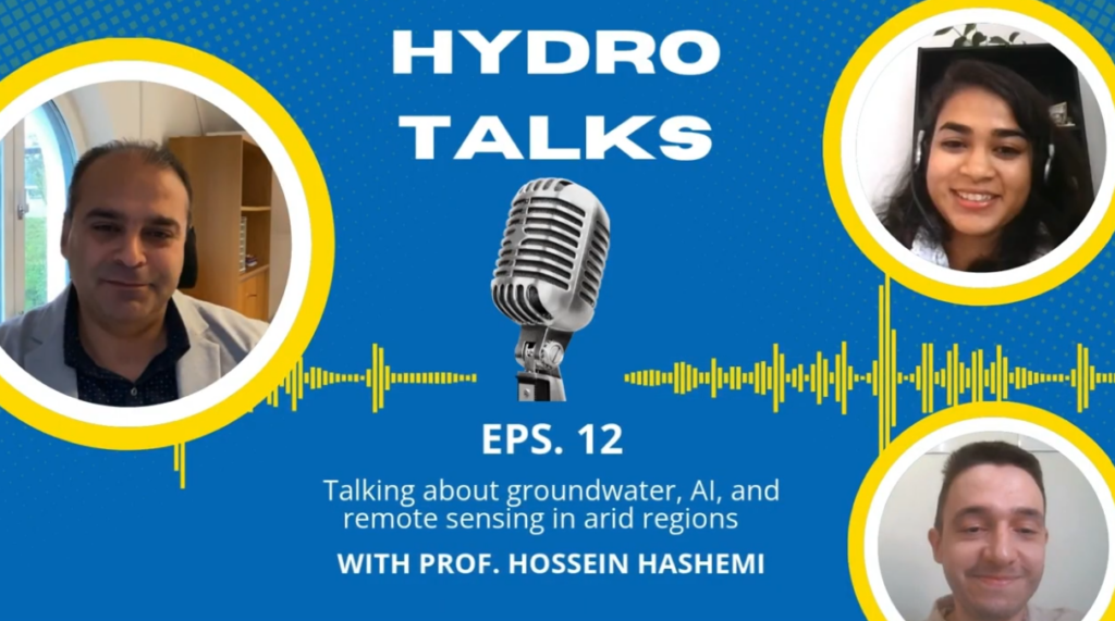
For this month’s episode of HydroTalks, we’re thrilled to welcome Dr. Hossein Hashemi, an associate professor in the Division of Water Resources Engineering at Lund University in Sweden and a member of the Center for Advanced Middle Eastern Studies. His research focuses on groundwater and surface water management in arid and water-scarce regions, combining remote …[Read More]
446 search results for "black in science"
If you didn't find what you were looking for, try searching again.
The dam upstream: why flood warnings fail the White Volta Basin and what we can do about it
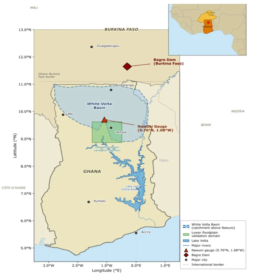
On 25 August 2025, SONABEL – Burkina Faso’s national utility – began releasing water from the Bagre Dam two days ahead of schedule. The reservoir had reached 90% of its capacity, just 0.73 metres below its maximum retention limit [9]. The Water Resources Commission and the National Disaster Management Organization (NADMO) in Ghana issued immediate …[Read More]
Which rain and temperature should drive your model? A guide to select daily forcing datasets , with application to northern Italy
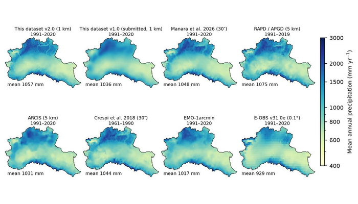
If you want to run a hydrological model anywhere, the first question is which meteorological forcing to use. For the Po basin, or anywhere in northern Italy, there are today at least a dozen gridded products, regional and European, built from different meteorological networks, with different methods and for different purposes. I reviewed them from …[Read More]
Robots in the Arctic: An autonomous adventure to Greenland’s outlet glaciers
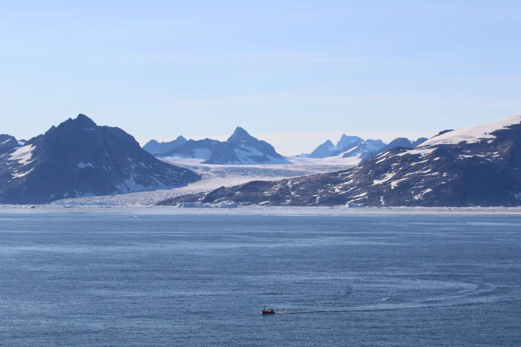
Research cruises are a fundamental part of the cryospheric sciences. As the Arctic warms, the systems that shape our world look much different from one season to the next, making it more critical than ever to measure the changes of our icy world. Here, three early-career researchers share insights from a cruise they took part …[Read More]
From Storm to Landscape: High Resolution for Climate Risk
Welcome to ”Climate Change through a Geomorphological Lens”, a blog series exploring the changing climate from a geomorphological perspective. This first post was inspired by a single figure in the Intergovernmental Panel on Climate Change’s Sixth Assessment Report [1]. It compares precipitation change per degree Celsius of warming across different climate models and observations for …[Read More]
The pulsed rise of the Nahuelbuta Range: How glaciers indirectly built a mountain in Patagonia
Forearc ranges are a striking example of how tectonic processes shape our planet. The Nahuelbuta Range in southern Chile is one of such settings. This week, Ambrosio Vega-Ruiz from the GFZ Helmholtz Centre for Geosciences, Germany, is telling us the story of this remarkable range, exploring how climate feedback can influence tectonic uplift across coastal …[Read More]
What machine learning can and cannot tell us about floods
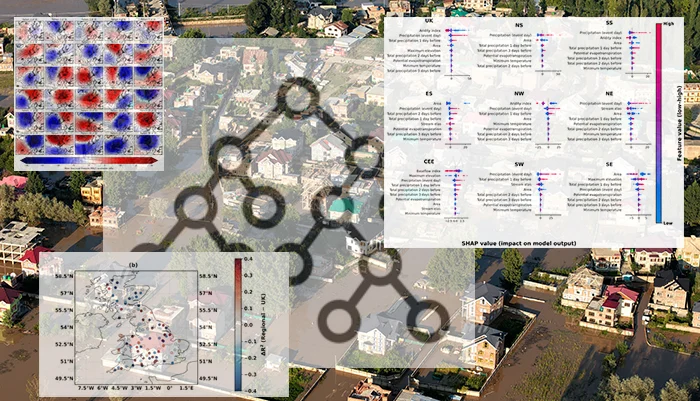
Floods are shaped by complex and nonlinear interactions between weather patterns, rainfall, soil properties, topography, land cover, and how wet a catchment already is. This complexity is one reason machine learning (ML) is increasingly used in hydrology. ML models can learn patterns from large and complex datasets with many variables. Early in my PhD, while …[Read More]
Why do Earth’s hidden stress fields matter for our future? Let’s explore the latest insights from the World Stress Map database
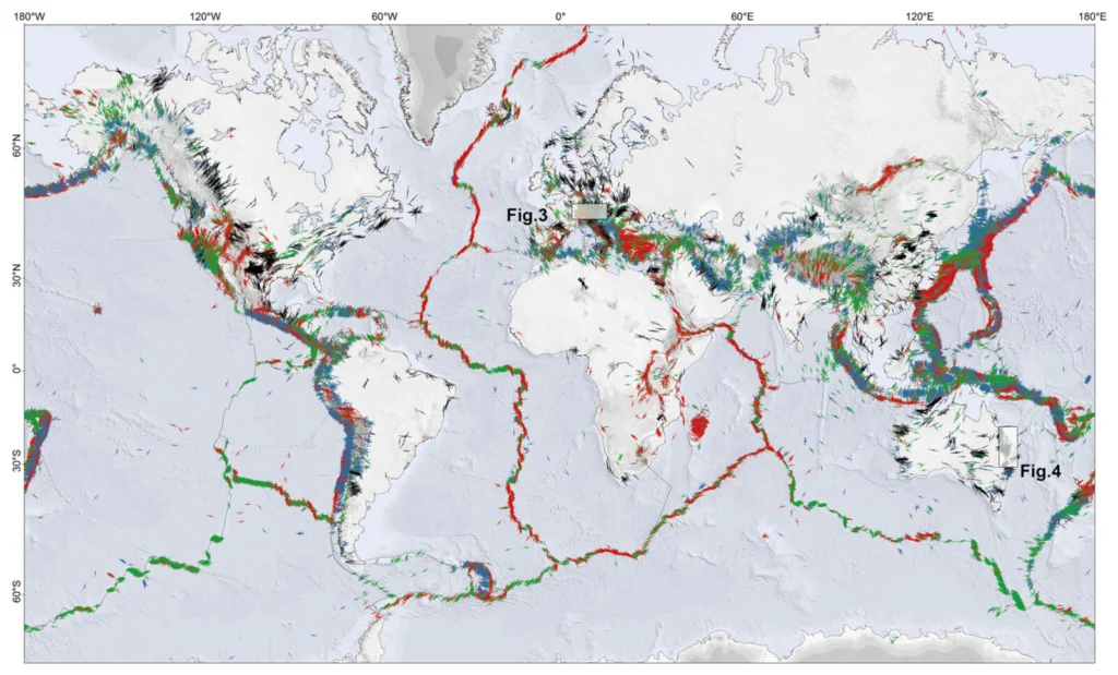
Beneath the serene landscapes we inhabit, the Earth’s crust is a battleground of constant, immense, and invisible tectonic forces. While humanity typically only notices this deep-seated stress when it violently releases in the form of an earthquake and volcanoes, these forces have always been shaping the structural bedrock of our planet. Understanding this hidden architecture …[Read More]
From Quasars to Coordinates: How VLBI Measures Earth’s Shape and Motion
Imagine determining the position of a point on Earth with millimeter precision using radio signals from celestial objects billions of light-years away. This may sound like science fiction, but it is exactly what Very Long Baseline Interferometry (VLBI) allows scientists to do. What is VLBI? Long before satellites and digital maps, people looked to the …[Read More]
The AI Revolution in Mining: Overhyped, Understood and Absolutely Unavoidable
Artificial Intelligence has dominated the world across various sectors. However, it is yet to be decided whether the use of AI in Mineral Exploration (and more broadly in Geosciences) will diminish the expertise and know-how of Geologists or instead provide a valuable tool for the years ahead. In this week’s blog, Dr. Nicholas Vafeas shares …[Read More]