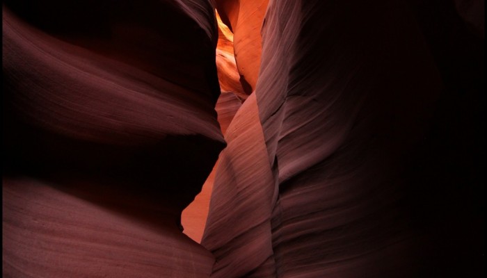
Antelope Canyon, located in Arizona, USA, was formed by erosion of the Navajo Sandstone, primarily due to flash flooding and secondarily due to other sub-aerial processes (think of physical weathering processes such as freeze-thaw weathering exfoliation and salt crystallisation). Rainwater runs into the extensive basin above the slot canyon sections, picking up speed and sand as it rushes into the ...[Read More]
If you didn't find what you was looking for try searching again.
GeoLog
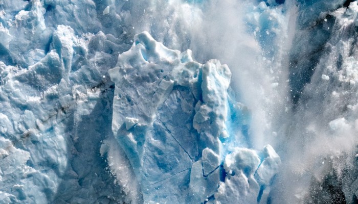
Imaggeo on Mondays: Late Holocene Fever
A huge ice fall off the Perito Moreno glacier in the Los Glaciares National Park, southwest Santa Cruz Province, Argentina, was voted one of the three best pictures entered into the EGU’s annual photo contest, by the conference participants at the 2015 General Assembly. Perito Moreno glacier is one of 48 glaciers feeding into the Southern Patagonia ice field, which combined with the Northern Patag ...[Read More]
GeoLog
Imaggeo on Mondays: Sunset over the Labrador Sea
Ruby skies and calm waters are the backdrop for this week’s Imaggeo image – one of the ten finalist images in this year’s EGU Photo contest. “I took the picture while on a scientific cruise in West Greenland in 2013,” explains Christof Pearce, a postdoctoral researcher at Stockholm University. “We spent most of the time inside the fjord systems around the Greenland capital, Nuuk, but this specific ...[Read More]
GeoLog
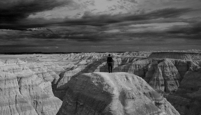
Imaggeo on Mondays: A voyage through scales – The Badlands National Park, South Dakota.
Layer upon layer of sand, clay and silt, cemented together over time to form the sedimentary units of the Badlands National Park in South Dakota, USA. The sediments, delivered by rivers and streams that criss-crossed the landscape, accumulated over a period of millions of years, ranging from the late Cretaceous Period (67 to 75 million years ago) throughout to the Oligocene Epoch (26 to 34 million ...[Read More]
GeoLog
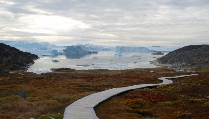
Imaggeo on Mondays: Just Passing
If lucky enough to visit Ilulissat Icefjord, you’d find yourself in a truly ancient landscape. From the up to 3.9 billion year old Precambrian rocks, to ice dating back to the Quaternary Ice Age (2.6 thousand years old) and archaeological remains which evidence the past settlement of this remote Greenlandic outpost, it’s no surprise this stunning location has been declared a UNESCO world heritage ...[Read More]
GeoLog
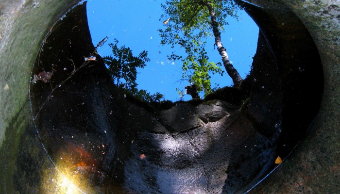
Imaggeo on Mondays: Seeing the world through a pothole
A beautiful image of a forest reflected in a pool of water within a pothole in southern Finland is this Monday’s Imaggeo image and it brought to you by Mira Tammelin, a Finish researcher. The photo illustrates a pothole in the Askola pothole area in southern Finland. The pothole area is situated on the steep slopes next to river Porvoonjoki, approximately 70 kilometers to the northeast from ...[Read More]
GeoLog
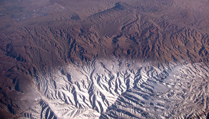
Imaggeo on Mondays: Scales of fluvial dissection
High peaks, winding river channels and a barren landscape all feature in today’s Imaggeo on Mondays image, brought to you by Katja Laute, a geomorphologist from Norway. This photo was taken from an airplane flying over the Zagros Mountains in Iran. The Zagros Mountain range stretches south and west from the borders of Turkey and Russia to the Persian Gulf, and is Iran’s largest mountain ran ...[Read More]
GeoLog
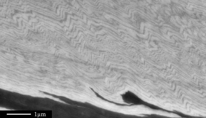
Imaggeo on Mondays: A fold belt within a grain
Tiny crinkly folds form the main basis of today’s Imaggeo on Mondays. Folding can occur on a number of scales; studying folds at all scales can reveal critical information about how rocks behave when they are squeeze and pinched, as described by Sina Marti, from the University of Basel. Although many geoscientists have seen such fold structures many times before, if you noticed the scale bar in th ...[Read More]
GeoLog
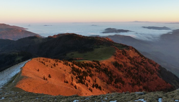
Imaggeo on Mondays: A thermal inversion
This week’s Imaggeo on Mondays image is brought to you by Cyril Mayaud, from the University of Graz (Austria), who writes about an impressive hike and layers of cold and warm air. Thermal inversion is a meteorological phenomenon which occurs when a layer of cold air is trapped near the Earth’s surface by an overlying layer of warmer air. This can happen frequently at the boundary between mountaino ...[Read More]
GeoLog
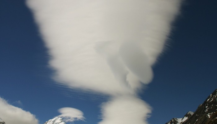
Imaggeo on Mondays: Foehn clouds
This week’s post is brought to you by Stefan Winkler, a Senior Lecturer in Quaternary Geology & Palaeoclimatology, who explains how the mountain tops of the Southern Alps become decorated by beautiful blanket-like cloud formations. The Sothern Alps of New Zealand are a geoscientifically dynamic environment in all aspects. They are arguably one of the youngest high mountain ranges in the ...[Read More]

