Jane Robb is GfGD’s University Groups Training Programme Officer, and a new PhD student at the Natural Resources Institute, University of Greenwich. Jane has just returned from Guatemala, where she was meeting with community groups and exploring land use issues. Here she shares some of the highlights of her trip with us.
In 2014 I started my PhD in Natural Resources at the Natural Resources Institute at the University of Greenwich. My project, in collaboration with the University of Valle, Guatemala, is currently exploring the institutional context within which land use changes and deforestation occur, and how this can inform the development of a Reduction of Emissions from Deforestation and Forest Degradation in Developing Countries (REDD+) project in the Sierra de las Minas Biosphere Reserve. I say currently, as the location has changed a little since I started the PhD (originally Sierra Leone, then Peru, then Madagascar, then Guatemala), and so has the focus of the project (first drivers of change in landscape carbon stocks, then understanding decision processes, then institutional analysis). By the time this post is published, I will probably be doing something else.
Coincidentally, GfGD are running a fundraising project throughout the year focusing on Guatemala, so I thought I would take this opportunity to provide readers with a photographic tour of my first 7-week field trip of my PhD, to Guatemala.
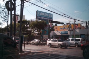
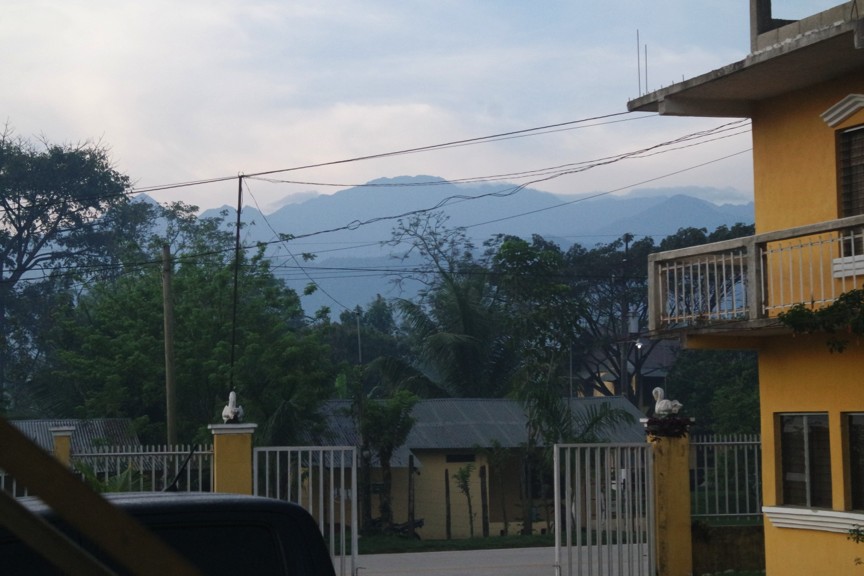
Out of a car, on my way to the first meeting in the city, I get a glimpse of Guatemalan life.
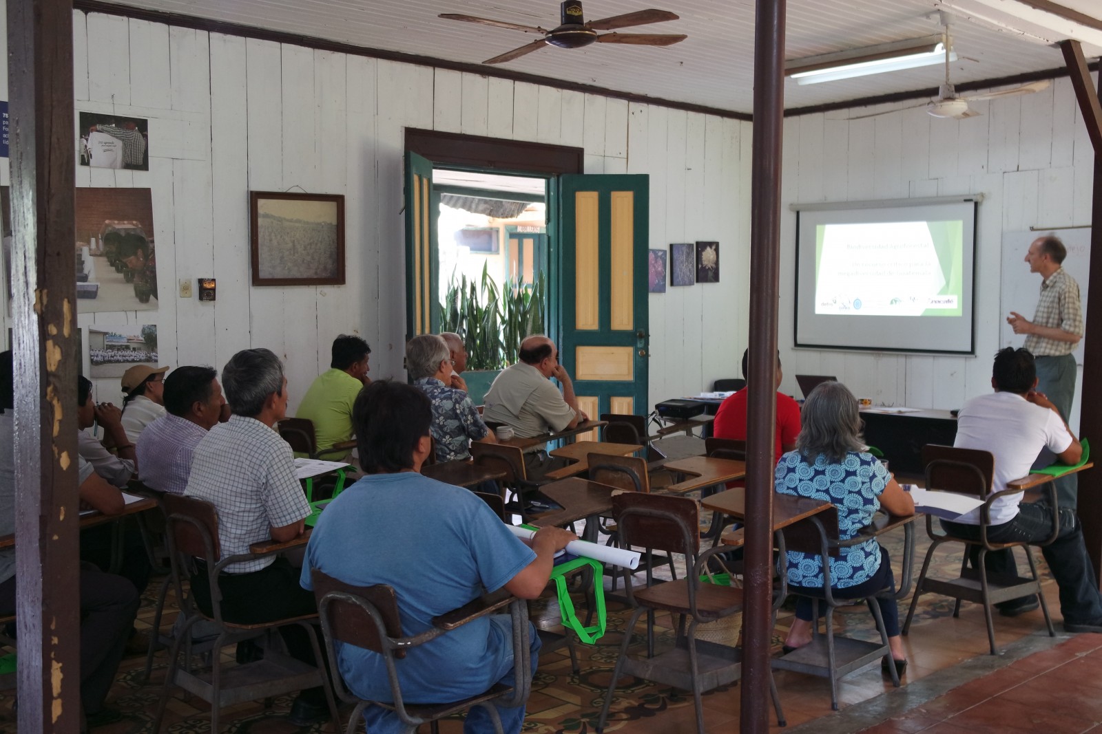
The first two weeks of my trip involved tailing my supervisor, who was finishing up a project funded by The Darwin Initiative on agroforestry for sustaining biodiversity of shaded coffee and cocoa plantations. This was an ideal start, as I was introduced to many key people for the rest of my stay and it gave me a crash course on Guatemala. This photo is the finale conference for the project, held at ANACAFE (the national coffee association for coffee cooperatives) offices in the city with several delegates from across Guatemala and the UK drinking ANACAFE coffee to kick off the conference.

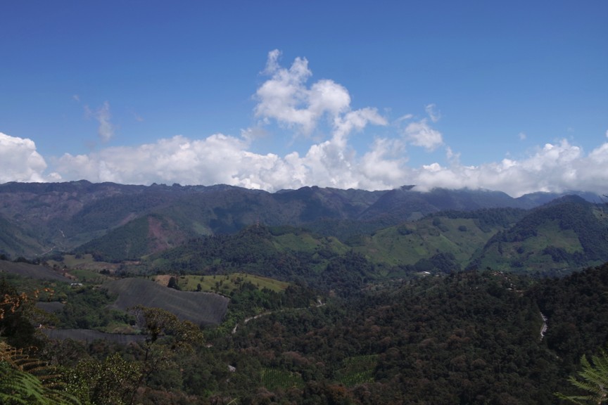
After the conference presenting the results of the project, I accompanied Jeremy and colleagues to visit some of the coffee plantations they had been working with, to see their progress in person. This was my first glimpse of the Sierra de las Minas Biosphere Reserve, at dusk in a small hotel just off the Polochic valley.
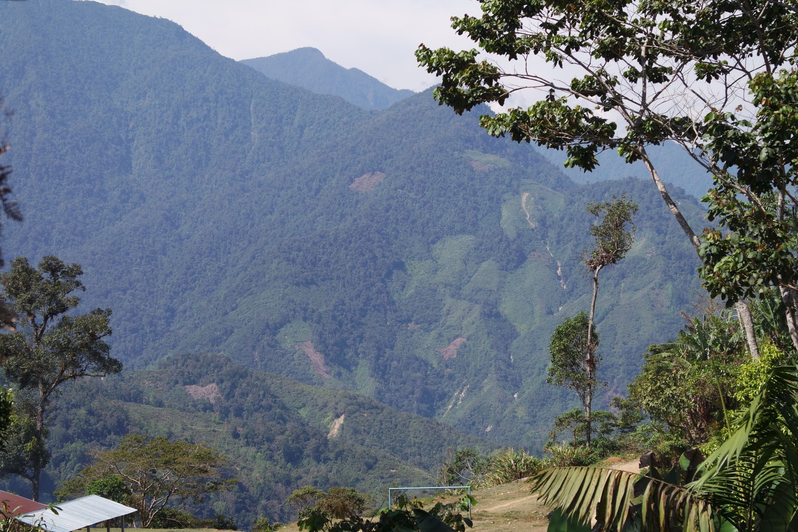
The next day we made the journey up towards the centre of the Biosphere Reserve. Once we reached the community, we had a perfect view onto the nuclear zone. However, it was clear that deforestation had been encroaching into the nuclear zone, where all use of the forest (other than for scientific research and ecotourism) is banned.
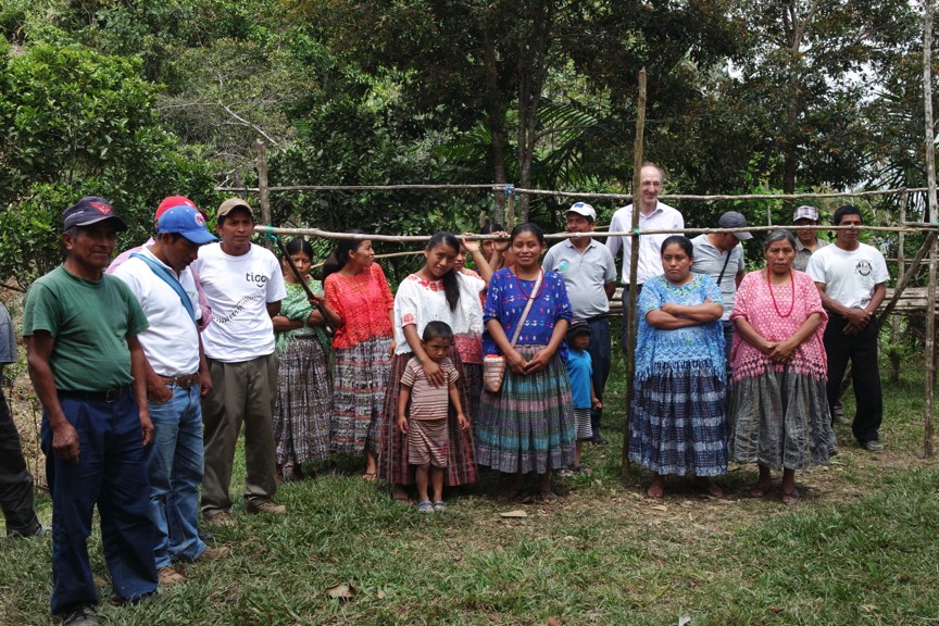
 After consultation with the community representatives about the state of their coffee plantations, we stopped for a photo with wooden cardamom driers as a backdrop, then joined them for some lunch.
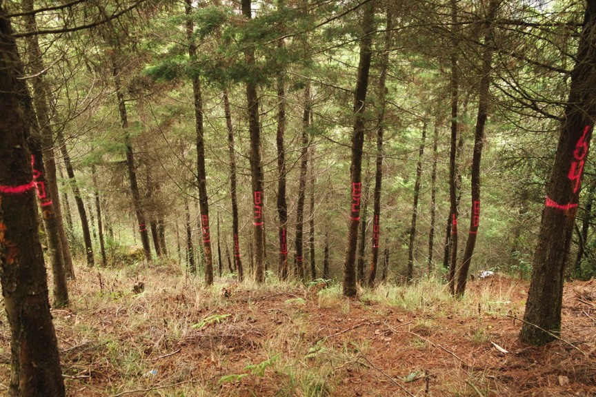
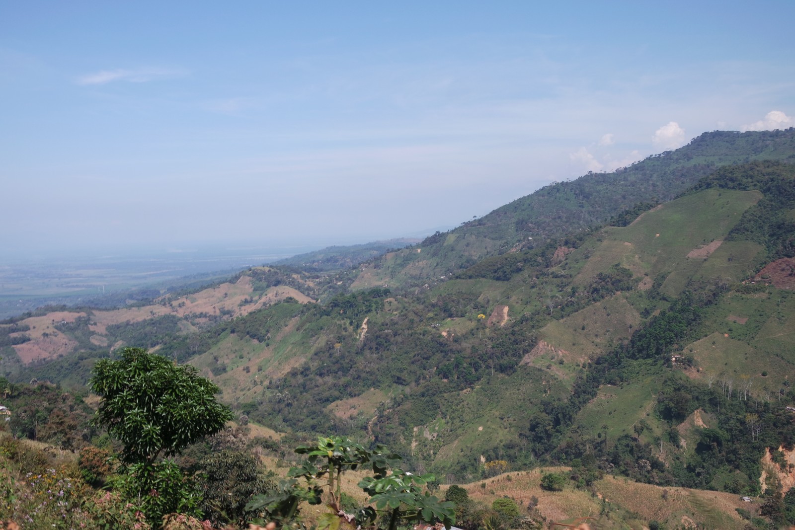
On our way back down the mountain, up close, the extent of deforesting and land degradation was clear.
In the Polochic valley at the base of the Sierra las Minas, we drove through monoculture plantations of sugar cane and oil palm, one of the newer threats to biodiversity and land degradation in Guatemala.

On our way back to the city, we encountered some incredible views of the countryside that even deforestation couldn’t mar.
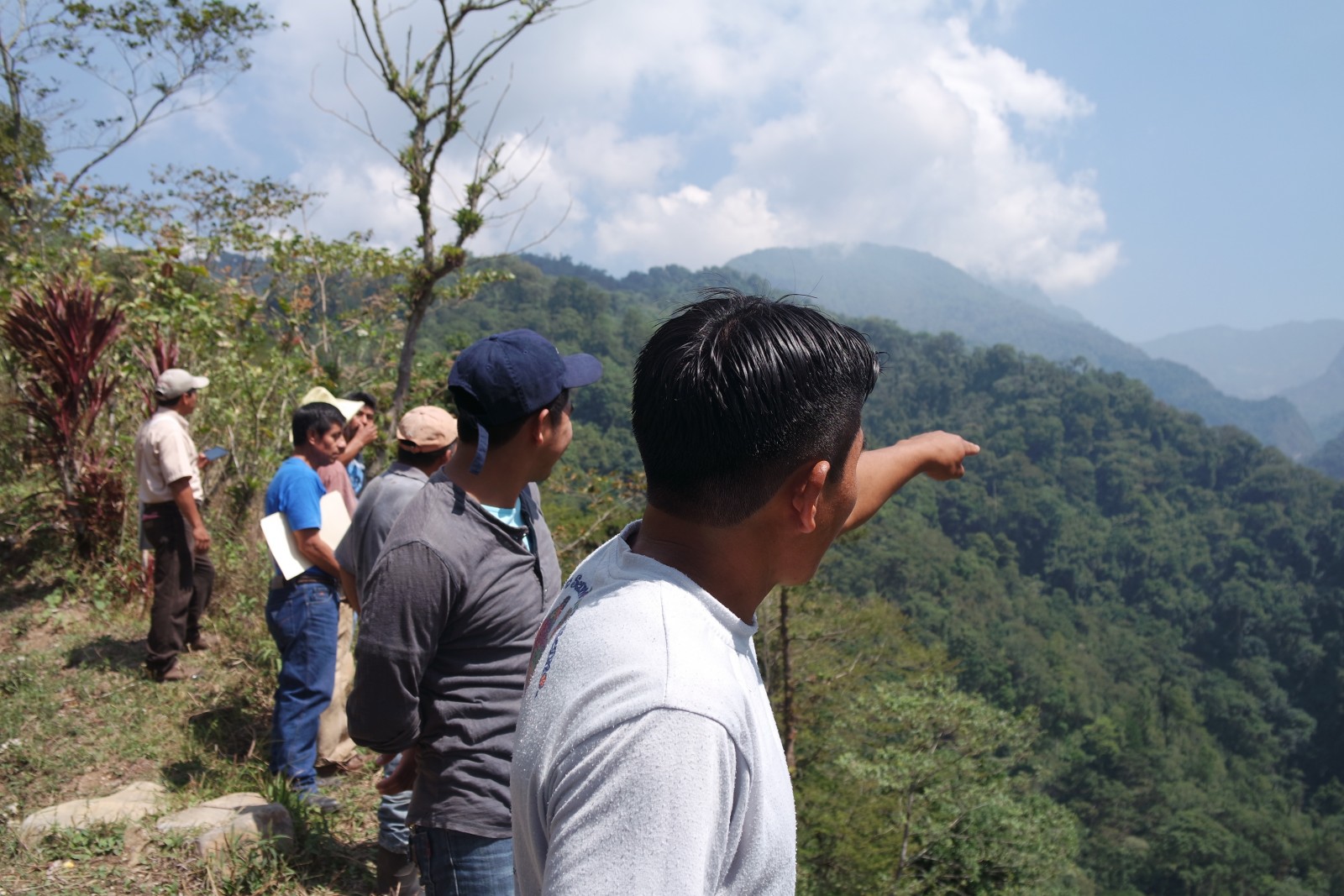
After returning to the city briefly, we then made our way out towards another community, this time south west of the city near the famous town of Quetzaltenango. Here we attended the offices of a coffee cooperative, where members of the Darwin project team discussed their results with the plantation owners.
In a third community nearby, we were taken on a hiking tour of their plantations.
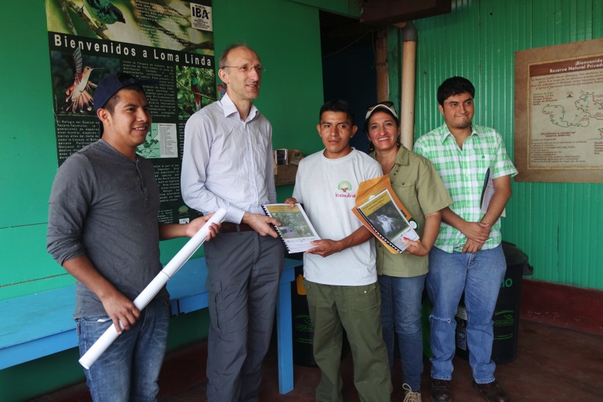
Later, members of the coffee cooperative were presented with biodiversity maps and information books on agroforestry.
With time for a little relaxation, we visited some Mayan ruins. (A must do in Guatemala!)

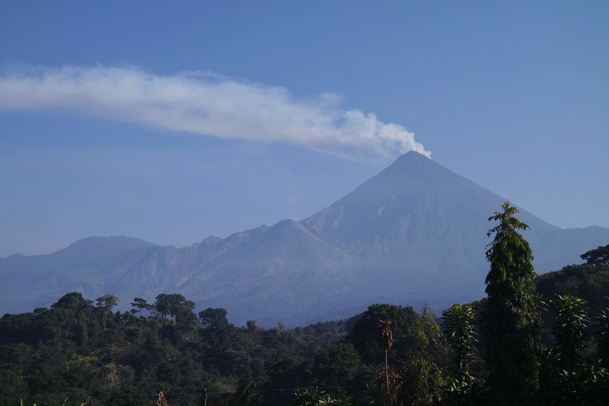
And of course viewed some of Guatemala’s incredible geologic forces at work.
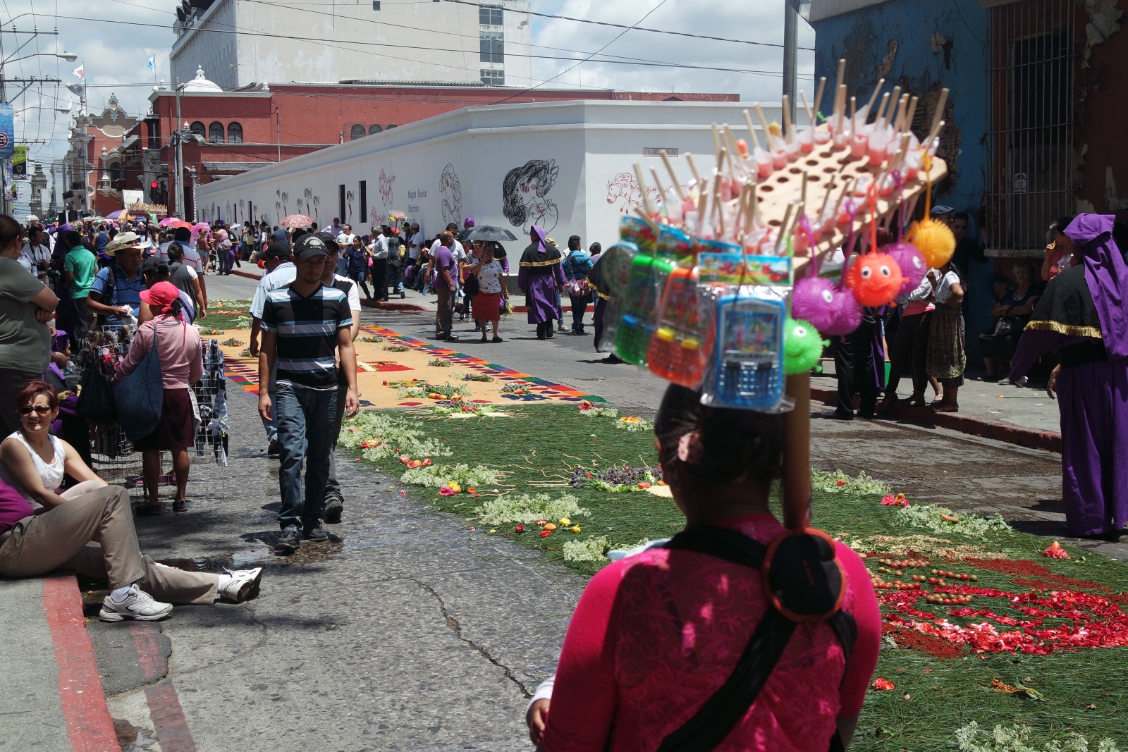
By the time my supervisor left at the end of my second week, it was Easter and time for the uniquely Guatemalan week long celebration of Semana Santa. Here you can see carpets of vegetables and seeds laid out on the streets of the city (alfombras), over which the Catholic processions would progress later that afternoon.
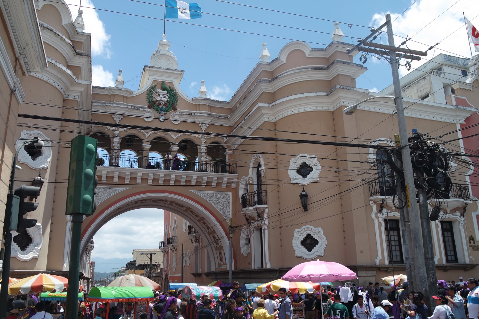
I was lucky to have some time to explore the stunning cultural centre of the city during this week of revelry.
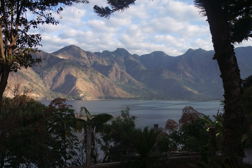
Guatemala takes the holy week of Semana Santa very seriously, so I thought I would follow tradition and take the holiday seriously too. I headed off to the party capital of Guatemala, Lake Atitlan, where I also took a week of Spanish lessons.
And kayaked.

With my third week over, it was back to work. This mainly consisted of attending meetings and working from the Centre for Study of the Environment and Biodiversity (CEAB) at the University of Valle. We did manage to take a short visit to some forestry plantations, to estimate the carbon content of different types of plantations in order to develop a comprehensive view of the carbon emissions and sinks in Guatemala for the national United Nations Framework Convention of Climate Change (UNFCCC) and Forest Carbon Partnership Facility (FCPF) supported REDD+ programme. We might have also found time to stay a night at Lake Atitlan that trip, as it was such a long drive back home…