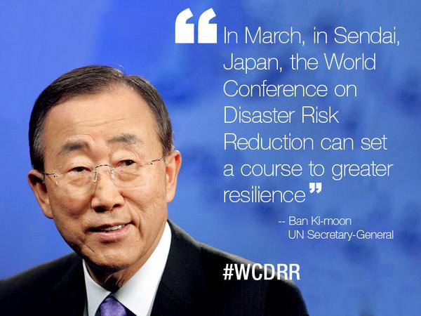
 From 14-18th March, disaster professionals, politicians and other stakeholders will be gathering in Sendai (Japan) at the UN World Conference on Disaster Risk Reduction (WCDRR). The aim of the meeting will be to agree upon the final text to replace the Hyogo Framework for Action, the UN guidelines for action on disaster risk reduction and strengthening resilience.
Today’s post, adapted from a post originally published on the official WCDRR blog page, picks out the key phrase ‘multi-hazard’ and calls for it to be better defined and understood…
The term ‘multi-hazard’ is widely used, featuring in both the Hyogo Framework for Action and the zero draft of the post-2015 framework for Disaster Risk Reduction. You can also find it other UN and UK Government documents, and in the academic literature. While ‘multi-hazard’ approaches are widely encouraged, it is not common for the term to actually be defined. It is now being used in different ways, by different people, leading to confusion in the natural hazards and disaster risk communities.
Why does it matter?
Multi-hazard approaches are essential; failing to understand the whole natural system (rather than a small portion of it) can distort management priorities, increase vulnerability to other spatially relevant hazards or underestimate risk. Imagine a community impacted by earthquakes, landslides and volcanic eruptions – decisions need to reflect the differential hazard potential and risk from each of these, not just focus on one of them. The consequences of focusing on one only are that actions taken may increase people’s vulnerability to other hazards.
The promotion of ‘multi-hazard’ approaches, therefore, is to be welcomed, but these need to be more than just multiple ‘single-hazard’ approaches. Some groups use the term ‘multi-hazard’ to describe the independent analysis of multiple different hazards (e.g., landslides, earthquakes, volcanic eruptions, flooding) relevant to a given area. Others use the term when referring to the superimposition of various GIS layers to identify areas of spatial overlap. These approaches can be thought of as the collation of multiple ‘single-hazard’ analyses, where we seek to understand the discrete risks due to multiple natural hazards.
A further group, including myself and others, argues that a true multi-hazard approach should recognise that hazard processes are not independent. Multi-hazard approaches should include both an examination of multiple different hazards but also recognise the significant interactions between these hazards. As research shows, triggering and increased probability relationships are widespread between natural hazards, with hazard cascades an important consideration for those interested in multi-hazards. For example, an earthquake may trigger hundreds of landslides, some of which may block rivers and result in flooding, causing erosion at the foot of slopes and triggering further landslides. Furthermore, impacts deriving from the concurrence of two (or more) hazard events may be greater than the sum of components. For example, the spatial and temporal overlap of a volcanic eruption and tropical storm event may result in much more severe flooding than would have occurred otherwise, due to the blocking of drainage systems by volcanic ash.
A practical call for action…
The UNISDR has definitions for key terminology including hazard, geological hazard, hydrometeorological hazard and biological hazard. It is surely time for a clear definition of what is meant by ‘multi-hazard’, if this important but poorly-understood phrase is to be included in any text coming out of the Sendai process. The focus of research and mitigation tools has to adapt from multiple ‘single-hazard’ analyses to true ‘multi-hazard’ studies.
 More information about hazard interactions and their integration into a clearly defined multi-hazard assessment can be found in this recent review paper (open-access). Chapter 7 includes a possible ‘working definition’ or framework for a multi-hazard assessment.
John D Kalimenze
I like the theme in the geology for global development and i was pleased with your talk at CAG meeting in Dar es Salaam last year. Keep moving brother, wishing you all the best in your career works and life at large.