The small landmass of Easter Island (164 km2), the southeasterly point of Polynesia in the Pacific Ocean, has achieved iconic status in the world today as people wonder how its colonisation was physically possible by settlers journeying through the vast ocean in tiny boats, how and why the enormous moai s were constructed and, most infamously, to what extent they contributed to their own downfall through severe environmental degradation. This story has received a lot of attention, featuring in Jared Diamond’s eye-opening book ‘Collapse’ as well as National Geographic. (Check out the neat video embedded in the National Geographic article in which researchers replicate their theory on ‘walking’ the s).
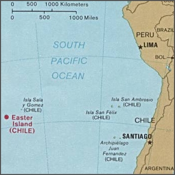
The location of Easter Island related to South America. Used by permission of the University of Texas Libraries, The University of Texas at Austin.

Image of Easter Island from the Earth Observatory, NASA.
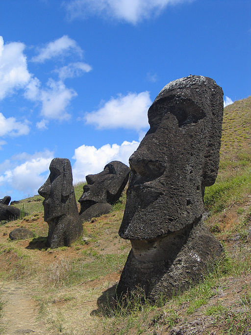
Statues at Rano Raraku, Easter Island. Source: WikiCommons
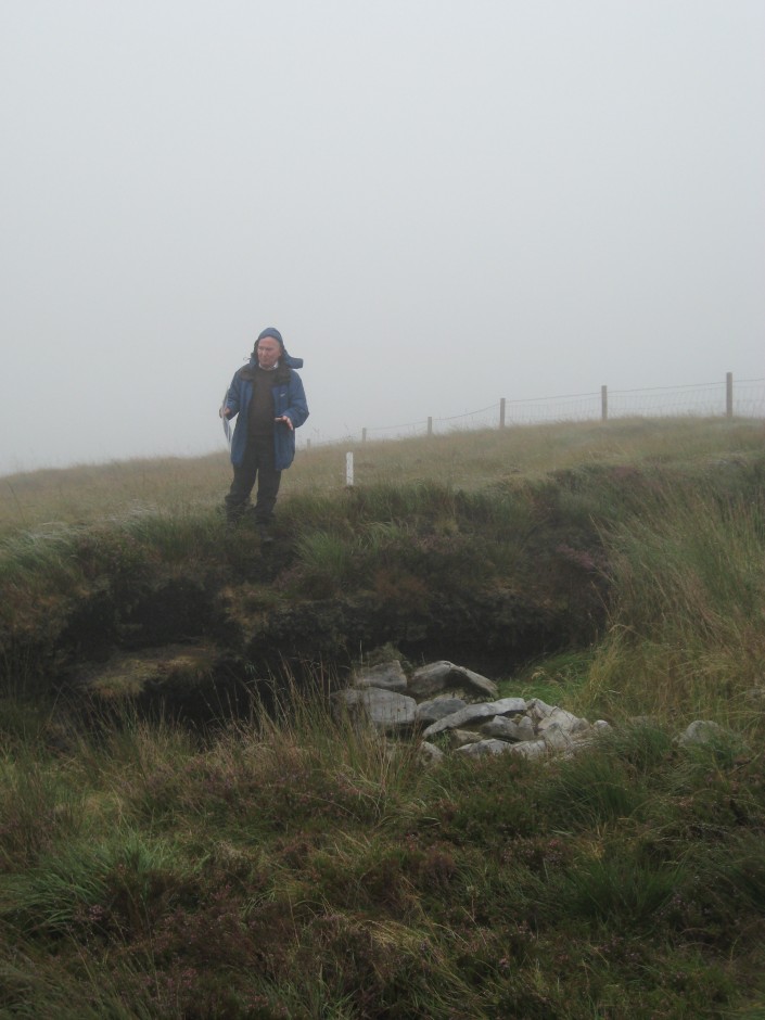
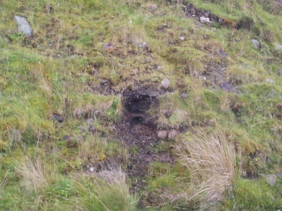
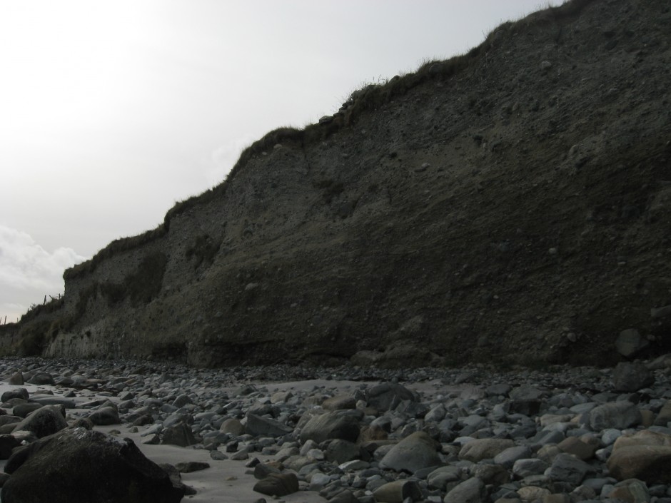
Substantial research efforts have tried to build up a detailed picture of the timing and rate of human settlement and changes in vegetation cover on the island, and most importantly whether there is a clear causal link between the two. Much of the evidence for environmental changes on Easter Island come from lake sediment sequences, a subject close to my heart (having invested 3 years and counting looking at lake sediments for my PhD).

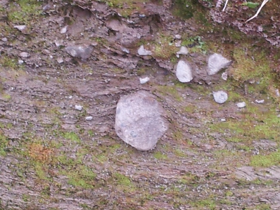
An example of a sediment core extracted from a lake bed. Photo from WikiCommons, courtesy of Gary Rogers.
In particular, identifying pollen grains at different depths in lake sediment cores can be used to reconstruct what types of plants were growing on the island through time and identify the timing of shifts from a tree-dominated landscape to a more open grassland, for example. I recently found a paper in the journal Quaternary Science Reviews (Cañellas-Bolta et al. 2013, QSR; I apologise that it is not open-access) that I was immediately drawn to as it applied a multi-proxy (integrating different, independent techniques) analytical approach to a new sediment core from a lake on Easter Island. Now, I have thoroughly enjoyed my PhD (so far!); it has been exciting, interesting and the fieldwork has been in the picturesque landscapes of the English Lake District and southern Scotland. Nevertheless, reading this paper set me off on a series of day-dreams because, as lakes are pretty much ubiquitous around the world, maybe one day in the future as part of a successful academic career, I could drill a lake somewhere REALLY cool?!?
A number of hypotheses have been set out to try and explain when settlers first arrived on Easter Island and what triggered the demise of their undoubtedly complex civilisation. One common story is that increased demand for firewood and space for agriculture led to rapid deforestation, severe soil degradation and ultimately cultural collapse. Climatic fluctuations, the introduction of rats, contact with European explorers or simply living in such isolation have also been proposed as drivers of this collapse.
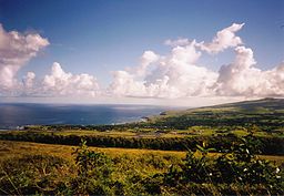
Panoramic view across Hanga Roa, Easter Island. The modern-day ‘natural’ landscape dominated by open grassland and largely devoid of palm trees is clear to see. Photo from WikiCommons courtesy of Makemake.
The new data from Cañellas-Bolta et al. include identification of a new pollen type Verbena litoralis and a more refined chronology for their sediment core based on radiocarbon dating. Using radiocarbon dates to identify the timing of events on Easter Island has been problematic due to inverted ages (i.e., a radiocarbon age higher in the sediment sequence returns an older date than samples lower down the core) and hiatuses, or gaps, in the sediment record. The hiatuses are particularly problematic here because sediment accumulation rates are very slow (100 years per cm), thus any gap in the record sadly means a significant chunk of the story has been lost. The authors use the BACON age-depth modelling software package to construct a more robust chronology, as the model incorporates known prior information on sediment accumulation rates and the identification of hiatuses within a Monte Carlo Markov Chain framework (Systematically running many millions of slightly-different simulations based on the same radiocarbon ages) in order to incorporate all possible age distributions, thus doing a better job of accounting for chronological uncertainties.
Verbena litoralis. Photo from WikiCommons, courtesy of Forest & Kim Starr.
Their vegetation reconstruction suggests Easter Island was dominated by palm trees until ~450 B.C., where the first evidence for a shift in vegetation cover is observed. At this time, grassland and the marker weed species V. litoralis increase in abundance while palm pollen numbers decline, likely suggesting a clearance episode. The replacement of palm-dominated vegetation by herbaceous taxa then continues in a stepped manner, with another major palm decline at ~1200 A.D. This is the most-commonly accepted date for the first Polynesian settlers to the island (~A.D. 800 – 1200) so fits in well with previous work. But the suggestion that human-induced changes in vegetation cover began ~450 B.C., approximately 1500 years earlier, has enormous implications for our understanding of the history of not only Easter Island but also the pattern of settlement across much of Polynesia.
The history of Easter Island has been a topic of intense debate and this paper is another entry into the story. One part of their paper I found particularly neat is that V. litoralis is a weed species native to North America; how then did it arrive on Easter Island nearly 2500 years ago? The authors, after careful consideration of natural dispersal mechanisms, strongly support an interpretation of human-driven spread. They mention other interesting examples such as evidence that sweet potato and bottle gourd, crops native to South America, arrived in Polynesia in prehistoric times and a contemporaneous introduction of Polynesian chickens to Chile.
The authors refrain from making sweeping statements about their findings in terms of re-thinking local and regional history, instead emphasising that many hypotheses remain plausible and there is tremendous scope for future work. I am now mentally planning my mud-extraction expedition as I type…
As a final point, I read Collapse several years ago and was quite taken by the author’s arguments but having read the paper and put together this blog post, I am inspired to conduct a more critical examination of all the information pertaining to Easter Island, especially as I am extremely concerned by the current state of natural environments around the globe and our role in their rapid degradation.