One of the beauties of living in Munich is that the Alps are, practically, on your door step. As I mentioned in one of our more recent posts, now that I am here, I’m looking forward to exploring the city, its surroundings and further afield!
Making it to the top

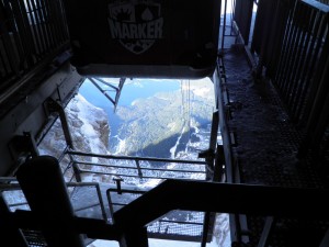
View of the cable car ascent from the Zugspitze summit. Looking north towards Lake Eibsee. (Credit: Laura Roberts)
That is exactly what I did a few weekends ago. After a little research, I chose to visit the town of Garmisch-Partenkirchen, at the foothills of the Alps. I’d discovered it offered some good hiking and that the town itself was lovely too. It turns out it is also home to Germany’s highest peak, the Zugspitze, a 2962 m towering mass or rock, ice and snow. Climbing to the summit is beyond my capabilities but I still found the less challenging alternative to reach the summit is not for the faint hearted either! It starts with a pleasant (but slow) train journey to Lake Eibsee. You then transfer on to a cable-car which transports you from ca. 1000m above sea level, right up to the summit of the Zugspitze in a hair-raising 10 minute (near-vertical) ascent! Like I said, not for the faint hearted! You can make the whole journey on a cog-wheel train (Zugspitzbahn), if you don’t fancy the rather scary cable car.
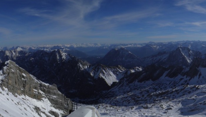
The views from the summit are absolutely worth the nerve wrecking journey. The border between Germany and Austria runs along the western part of the summit and on a good day you get 360° views across four countries: the peaks of Switzerland and Italy are visible to the west and south. These mountains are all part of the Wetterstein massif, a range of peaks made of limestone, formed from sediments deposited in the Tethys Ocean basin about 200 million years ago. The Tethys Ocean disappeared as a result of the closure of the gap between the ancient supercontinents of Laurasia and Gondwana some 30 million years ago. As a result of this convergence of the continents, the sea floor of the Tethys lifted upwards and formed the Alps. The intense tectonic forces created recumbent folds in the limestone, called nappes. The present day ridges and valleys have been carved out of the limestone by glaciers over the last 2 million years.
A shrinking glacier
One of the glaciers, the Schneeferner, is easily accessible from the visitors centre at the summit. Having never set foot on a glacier before, it was a must of my day trip. It is home to numerous ski slopes, although none were yet in operation during my visit. I was attracted to a number of little huts dotted about the icy landscape and thrilled to discover they are part of an educational outreach project.

The retreat of Schneeferner glacier is illustrated in one of the educational displays. On the right, a photograph of the extent of the glacier in 1890; centre image taken in 1961 and left image shows the glacier in 2006.
Schneeferner glacier was part of a much larger glacier which covered the entire Zugspitzplatt until 1820, when retreating of the ice meant it split into the northern and the southern Schneeferner. The southern glacier has all but disappeared due to being exposed to the sun and little input of snow from avalanches. The glacier I stood on is also shrinking at an alarming rate, although here it is its thickness that changes, rather than extent. A survey in 2011 revealed it has a maximum depth of 50m.
The skiing industry in the area means that there is investment in trying to extend the life expectancy of the glacier, despite the effects of a warming climate. Tarpaulins are spread over the upper reaches of the glacier in the summer to protect it from intense sunlight and avalanches are programmed regularly to feed more snow onto its surface. The ski industry are also doing ‘their bit’ by compacting real and artificial snow to create the perfect conditions for skiers and so contributing to increasing the depth of snow cover.
Raising awareness
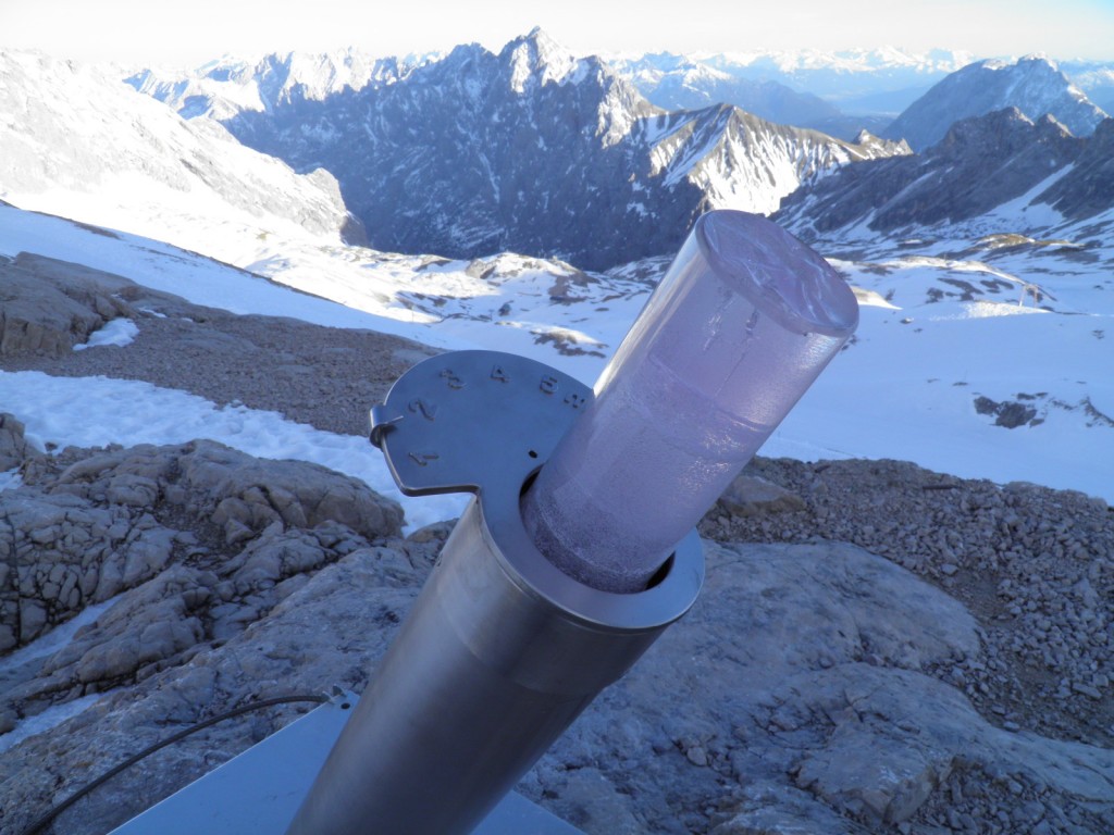
However, the measures do little to raise awareness of the retreat of alpine glaciers across Europe and I was pleasantly surprised to see the little huts dotted across the landscape. They aim to educate tourists and holiday makers of not only the shocking reality of a warming climate but also the means by which scientists go about studying glaciers and their retreat. Displays included carved and polished samples of the rock types that form the Wetterstein massif, as well as recordings of the ‘sound’ and ‘songs’ of the glacier. My personal favourite was a Perspex replica of an ice core which highlighted the changing structure of the ice as you sample deeper into the ice.
Of course, I wonder how effective this display actually is; does it achieve its purpose at all? I found myself thinking, was I simply attracted to it because of my geological background and love of all things science communication? I’d be very interested to know if you have come across similar projects/displays elsewhere on the ski slopes and if you found them at all engaging, thought provoking or interesting?

