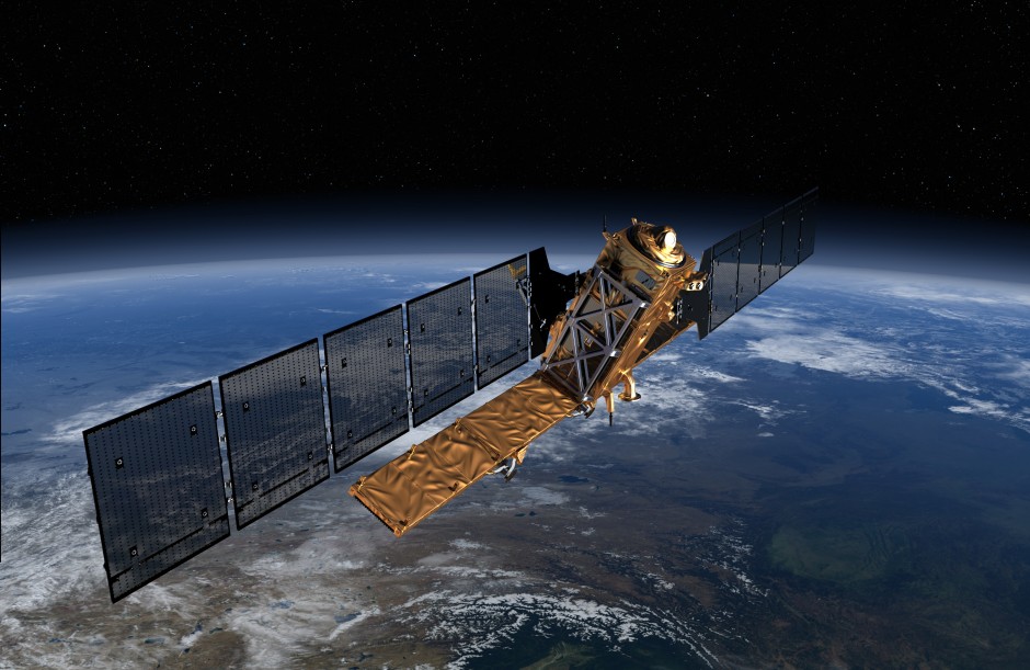
Sentinel-1 satellite to be launched in Spring 2014. Copyright: ESA/ATG Medialab
This isn’t strictly a photograph but an artist’s impression of a new satellite launching soon that will hopefully change the pace and advancement of a satellite remote sensing technique I use in my PhD, InSAR. Sentinel-1 will be the first of five European Space Agency (ESA) satellites to be launched as part of Europe’s Global Monitoring for Environment and Security (GMES) ‘Copernicus’ programme. This multi-billion (euro) project “will be engaged in wide range of land and ocean surveillance tasks, such as oil-spill monitoring and earthquake hazard assessment”.
Sentinel-1 will be a polar-orbiting radar satellite that can collect data day-and-night, in any weather condition, and will be ready for launch in spring 2014. The launch of this satellite is exciting for scientists as it will see the continuation of Synthetic Aperture Radar (SAR) data collection that was, until recently, collected by the ENVISAT satellite.
Aside from InSAR, the ESA website highlights other uses of SAR imagery including “monitoring Arctic sea-ice, routine sea-ice mapping, surveillance of the marine environment, including oil-spill monitoring and ship detection for maritime security, monitoring land-surface for motion risks, mapping for forest, water and soil management and mapping to support humanitarian aid and crisis situations”.