GeoLog

Hazard

Higher Education Resource: River Flood Hazard Modelling & Management
Higher Education Resource: River Flood Hazard Modelling & Management
The European Geosciences Union (EGU) supports bringing science into the classroom at all learning levels, from schools to universities. Since the Higher Education Teaching Grant programme launched in 2020, EGU has funded 24 projects to develop useful and freely-available geoscience resources to university educators. This blog is part of a series of blogs highlighting the innovative and accessible ...[Read More]

What I wish someone told me early in my career: meet Hazel Gibson, our Head of Communications

What I wish someone told me early in my career: meet Hazel Gibson, our Head of Communications

‘What I wish someone told me early in my career’ is a new Geolog series that aims to provide valuable insights and guidance to early-career professionals within the European Geosciences Union (EGU) community. Each month, I will interview a staff member of EGU to share their personal career journey, experiences, challenges faced, and the tips they wish they had received earlier in their ...[Read More]

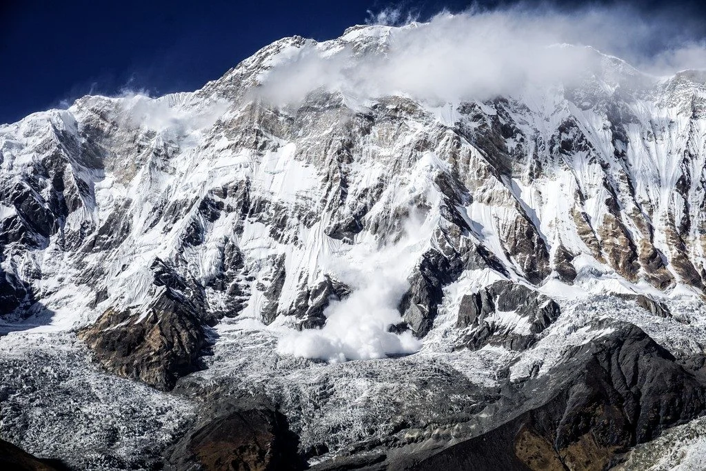
Imaggeo on Mondays: A dramatic avalanche from Annapurna South

Imaggeo on Mondays: A dramatic avalanche from Annapurna South

The Annapurna massif is located in an imposing 55 km long collection of peaks in the Himalayas, which behave as a single structural block. Composed of one peak (Annapurna I Main) in excess of 8000 m, a further thirteen peaks over 7000 m and sixteen more of over 6000 m, the massif forms a striking structure within the Himalayas. Annapurna South (pictured in today’s featured image), the 101st talles ...[Read More]

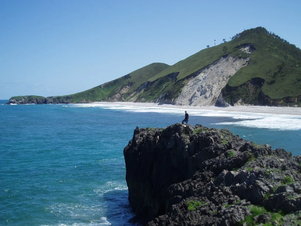
Imaggeo on Mondays: Landslide on the Cantabrian coastline

Imaggeo on Mondays: Landslide on the Cantabrian coastline

Shimmering blue seas, rocky outcrops and lush green hills sides; this idyllic landscape is punctuated by a stark reminder that geohazards are all around us. Irene Pérez Cáceres, a PhD student at the University of Granada (Spain) explains the geomorphology behind this small scale landslide on the Asturian coastline. This picture was taken in May 2011 in the coast of Llanes (Asturias, Spain). I was ...[Read More]

GeoTalk: Matthew Agius on how online communication can help identify earthquake impact

In this edition of GeoTalk, we’re talking to Matthew Agius, a seismologist from the University of Malta and the Young Scientist Representative for the EGU’s Seismology Division. Matthew gave an enlightening talk during the EGU General Assembly on how communication on online platforms such as Facebook can help scientists assess the effect of earthquakes. Here he shares his findings and what wonders ...[Read More]

Geosciences column: Shelter island – building a barrier to protect the coast

The latest Geosciences Column features recent research into tsunami hazards and explains how island building out to sea can help protect buildings on the shore… Barrier reefs are well known for holding off the wrath of the ocean and sheltering the serene lagoons that stretch between them and the mainland. Barrier islands possess the same protective power, taking the impact of waves that have built ...[Read More]

It’s not my fault

A line on a map is important. In the Beverly Hills region of Los Angeles a series of mapped fault lines are now the cause of a major controversy. Communities have been alarmed, money has been lost and legal proceedings are ongoing. It started in 1992. James Dolan and Kerry Sieh, two earthquake geologists at the California Institute of Technology, published a map in a field trip guidebook about the ...[Read More]

Call for abstracts: The 9th Alexander von Humboldt Conference

The Alexander von Humboldt Conference is part of the EGU’s Topical Conference Series, and will be taking place in Istanbul, Turkey (24 – 28 March 2014). The aim of the meeting is to open a forum on natural hazard events that have a high impact and a large destructive potential, focussing on the Euro-Mediterranean Region in particular. The theme for the conference can be broken down into nine broad ...[Read More]

Geosciences Column: Getting a handle on glacial lakes

Glacial lake outburst floods (GLOFs) are caused when masses of meltwater are released from behind a glacier moraine. Moraines are piles of unconsolidated debris that have either eroded from the glacier valley or have been deposited by melting glaciers. When they fail, a huge volume of water can be released, threatening populations further down the valley. Moraine failure can be caused by avalanche ...[Read More]