Unravelling the secrets of past civilisations is tricky at the best of times. More so if many of the records which hold clues about how communities lived, built their homes and temples, as well as how they fed themselves, were destroyed by subsequent invaders. In these instances, as Felix Rodriguez Cardozo explains in today’s post, geophysical techniques (such as Lidar, which very recently hit the ...[Read More]
Imaggeo on Mondays: Using geophysical techniques to unlock the secrets of the past
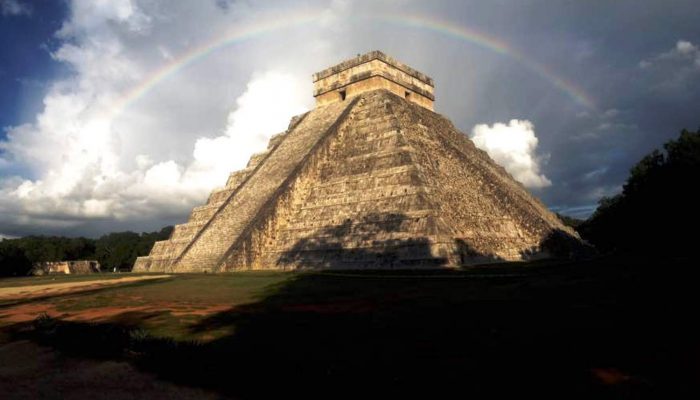
The nature surrounding the man . Credit: Félix Rodríguez Cardozo (distributed via imaggeo.egu.eu)