Ravaged by armed conflicts, a deep struggle with poverty, poor governance and horizontal inequality, some parts of Africa and other Global South regions are arguably the most vulnerable to the impacts of climate change. Largely reliant on natural resources for sustenance, current and future changes in temperatures, precipitation and the intensity of some natural hazards threaten the food security, ...[Read More]
Geosciences Column: Africa’s vulnerability to climate change
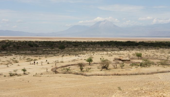
Climate change is set to hit the nations of the Global South the hardest. Masai life . Credit: Jaap Berghuijs (distributed via imaggeo.egu.eu).