This blog post is part of our series: “Highlights” for which we’re accepting contributions! Please contact Emma Lodes (GM blog editor, elodes@asu.edu), if you’d like to contribute on this topic or others.
by Sophie Rothman, Postdoctoral fellow, Géosciences Environnement Toulouse. Email: Sophie.rothman@get.omp.eu
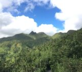
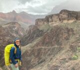
My PhD research at the University of Nevada, Reno, focused on how waterfalls alter erosion processes and rates. It was a great PhD project because it allowed me to travel to beautiful places and spend my field work in the hottest part of the summer standing in an ice-cold river (sadly, with water snakes). However, studying waterfalls presented many practical and philosophical problems.
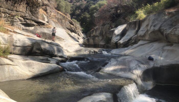
Waterfall and plunge pool (PC: Joel Scheingross)
First, what is a waterfall? My supervisor Joel Scheingross defined a waterfall as a bedrock step with jet detachment – where water dropping off the feature is momentarily in free fall before reconnecting with the river. However, practically, whether the jet is detached or not changes depending on local hydraulics during a specific river discharge event, making it hard to assess remotely through lidar data, or in the field at low flows. Therefore, in practice we defined a waterfall as a bedrock drop with a threshold drop height of 1.5 meters. This definition doesn’t always encompass river features that behave like waterfalls by directing flow and sediment impacts perpendicular to the channel bed. However, it was necessary in order to be able to measure waterfalls consistently remotely and in the field and provides a guideline for features which should have waterfall behavior.
Second, how do we measure a waterfall? To estimate waterfall erosion rates using the physical model of waterfall erosion that my advisor Joel produced during his PhD, we needed parameters including sediment size, channel width, waterfall height, plunge pool radius, and critically, plunge pool depth. Plunge pools are deep, often round features created as water and sediment accelerate in freefall moving off a waterfall, and then directly impact the river bedrock, vertically incising before deflecting and laterally scouring out deep pools. Thus, while many of these parameters could be estimated using a laser range finder and (a lot of) pebble counts, measuring plunge pool depth was complicated. Plunge pools are often very deep, and even at low river discharges they are usually filled with water, ruling out the laser range finder. Plunge pools are also often lined with sediment, especially at low flows, when the river may not be actively incising or have enough energy to remove sediment from the pool. Therefore, the best estimate we could get for the pool depth, was by measuring the depth to bedrock or sediment directly below the waterfall jet, where there was the least amount of sediment accumulation.
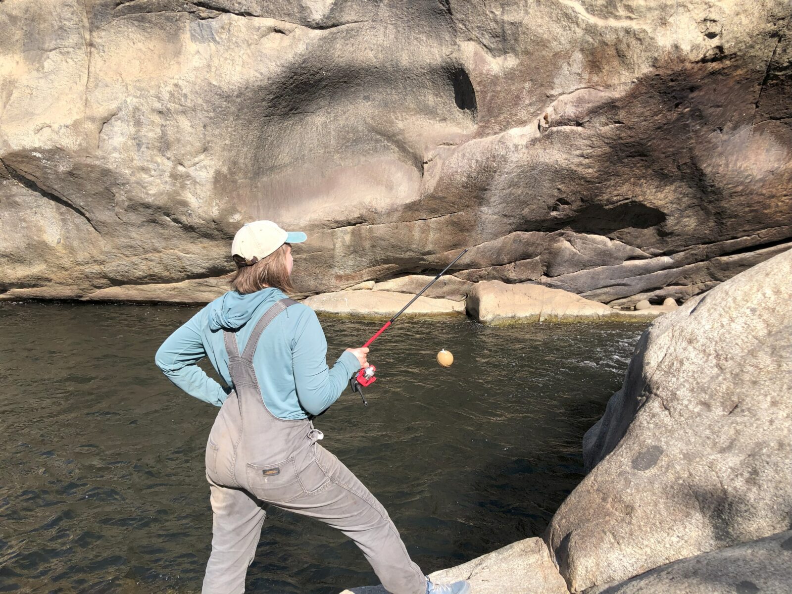
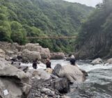
Experimenting with a fish finder sonar device (PC: Sophie Rothman)
But how to make this measurement? A stadia rod (a rigid staff with numbered graduations for measurements) gave the benefit of being able to poke it into the deeper parts of the pool from land. But most of the time, it was too difficult to position it next to the waterfall jet from on shore, impossible to swim with, and often, not long enough. I thought we had struck gold when we purchased a fish finder sonar device. We hooked it up to a fishing rod and my friend taught me how to cast the line and pull it across the plunge pool while the device broadcasted depth readings to my phone. But the fish finder didn’t work in turbulent aerated water near the waterfall jet, didn’t perform well where the pool was lined with bedrock, and was hard to guide precisely. It was also fairly expensive and quickly broke when we didn’t close it properly.
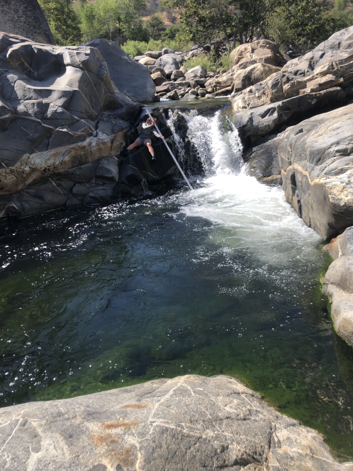
In the end, the best solution was to just fill a bag with rocks, tie it to the end of a long measuring tape, and drop the bag into the deepest part of the pool. But to avoid breaking the measuring tape, this method required swimming a bag of rocks into turbulent water. The first time I gingerly pushed off into a deep pool with a heavily weighted bag, I immediately felt my head being pulled under the water. Cold and surprised, I struggled vainly to swim to the surface before I remembered I could let go of the bag, releasing me to float upwards. It turns out it’s hard to swim while carrying heavy rocks. In the end, we used a moderate weight, heavy enough to drift to the bottom of the pool in turbulent waters, but light enough that you could safely swim one-handed. In this way we measured plunge pools depths up to 10 meters deep. We used these measurements to demonstrate that waterfall frequency has a greater influence on local erosion rates than waterfall geometry.
We can’t always measure what we want to measure. During my PhD research, I learned that sometimes the perfect method doesn’t exist, but that it doesn’t necessarily prevent us from making scientific advances. It just makes it incredibly important to document your methods and to be clear about their limitations. Because at the end of the day, natural features are complicated and require a certain amount of compromise. And always prioritize personal safety over measurement accuracy – wearing a life jacket is never a bad idea!
Thanks to the NSF for funding my PhD work. If you’re interested in learning more about this research, you can find a video I made about it on youtube! https://www.youtube.com/watch?v=sVgr2pebSCs