This blog post is part of our series: “Highlights” for which we’re accepting contributions! Please contact one of the GM blog editors, Emily (emily.bamber@utexas.edu) or Emma (elodes@asu.edu), if you’d like to contribute on this topic or others.
by Grace Guryan, Doctoral Researcher, University of Texas at Austin, USA
Email: gguryan@utexas.edu
About Me
 My name is Grace Guryan, and I’m a fifth year PhD candidate at the University of Texas at Austin. I’m a fluvial geomorphologist who studies how we can quantify lithology’s influence on bedrock river channels. When I was growing up, I spent a lot of time whitewater rafting with my family which led me to spend a lot of time thinking about how rivers flow and evolve, well before I was interested in studying science formally. I later developed an interest in physics, and initially planned to major in it when I began my undergraduate degree. However, I also signed up for Introductory Geology on a whim, and the class changed my entire trajectory. The interdisciplinary nature of geosciences and the ability to read landscapes fascinated me so I ended up switching my major to geology.
I was initially inspired to pursue research after getting the opportunity to spend two summers working as a field assistant for a PhD student in hydrology who had a project studying surface water groundwater exchange in meander bends at the East River Science Focus Area (SFA) in Crested Butte, Colorado. My work as a field assistant then evolved into my undergraduate thesis project, in which I used Ground Penetrating Radar to map the hydrostratigraphy of the meander bends in our study area. While I spent a few years in the workforce after I finished my undergraduate degree, I always had a research career in the back of my mind, and my experience working on the East River project ultimately inspired me to apply to grad school.
Research Highlights
My research broadly focuses on quantifying how lithology influences topography, particularly in river systems. I’m especially interested in how different rock types produce varying sediments, and quantifying how variations in both bedrock lithology and channel sediment load affect long term erosion patterns in river channels. To help address this overarching question, I’ve been working on three different projects over the course of my PhD:
- Numerical Modeling of Sediment Cover and Lithologic Variations
My first major project uses numerical modeling to investigate how sediment cover and lithologic variations influence channel steepness and erosion dynamics in layered rocks over geologic timescales. Using Landlab, an open-source Python library, and the Stream Power with Alluvium Conservation and Entrainment (SPACE model), I developed a series of model runs that simulate over 1 million years of tectonic uplift and river erosion in landscapes with alternating layers of hard and soft rock.
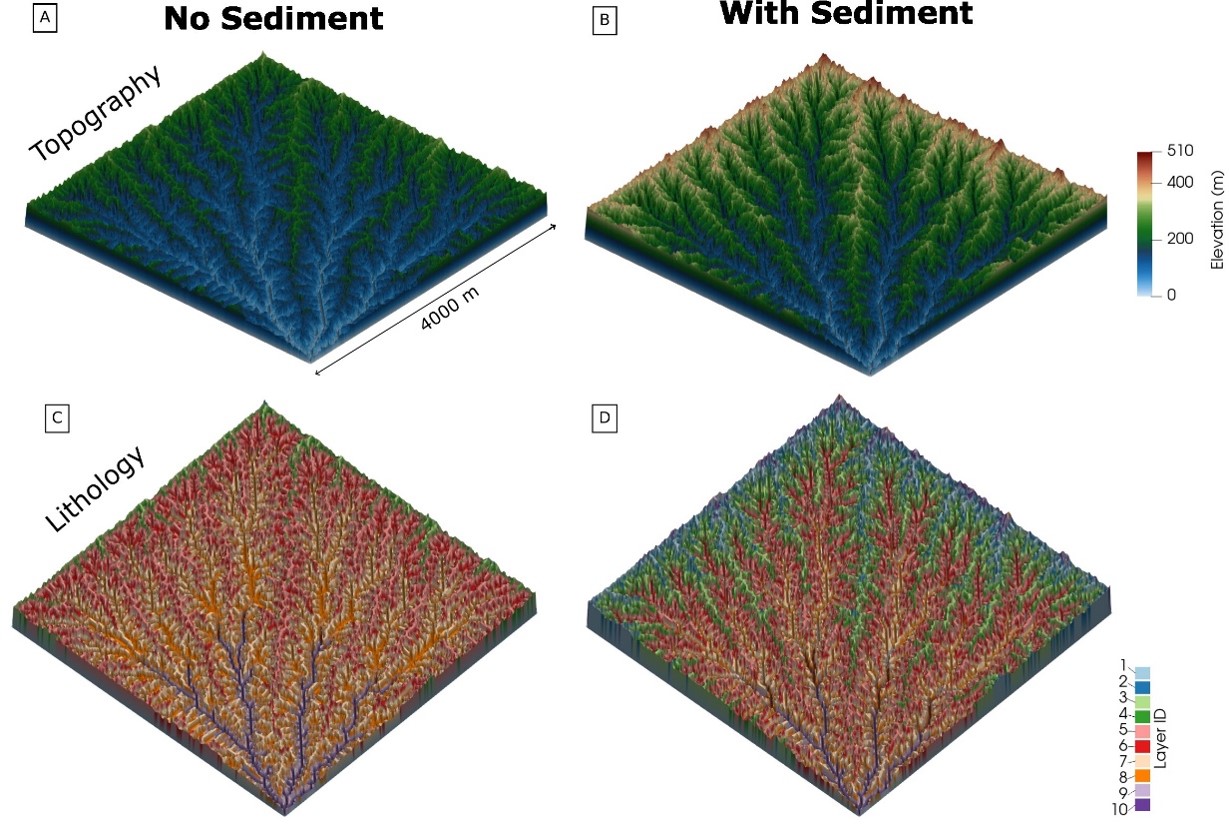
Example model outputs from simulations using the Stream Power Model, which has no sediment (left), and the SPACE model, which includes sediment cover effects (right). Sediment cover results in increased relief (B) and more rock layers exposed in the landscape (D).
This work, recently published in the Journal of Geophysical Research: Earth Surface, revealed that sediment plays a significant role in how different rock types are expressed in river channel profiles. Increasing sediment cover systematically resulted in higher-than-expected steepnesses in layers of soft rock, and reduced steepness in layers of hard rock. Our work also demonstrated that depending on the degree of sediment cover and the erodibility contrast between layers, the same underlying lithology can result in remarkably distinct steady state channel profiles. These results ultimately highlight the challenges in separating signals of lithology, climate, and tectonics from river profiles.
2. Developing a New Model for Dynamic Channel Width Adjustment
Building on my first modeling study, I’m now in the process of developing a new model that incorporates dynamic channel width evolution. While previous studies, including my own, have focused on vertical erosion, we know that channels can also widen or narrow in response to variations in discharge and sediment flux.
This ongoing project, which I got off the ground with the support of an OpenEarthscape Visiting Scholarship at the Community Surface Dynamics Modeling System (CSDMS), aims to explore how channels adjust both vertically and horizontally over time. This model is a modified version of the SPACE model that I used for my first chapter, so it also includes sediment cover effects. By incorporating this new dimension into our understanding of how river channels evolve, we can create more comprehensive models of fluvial landscape evolution.
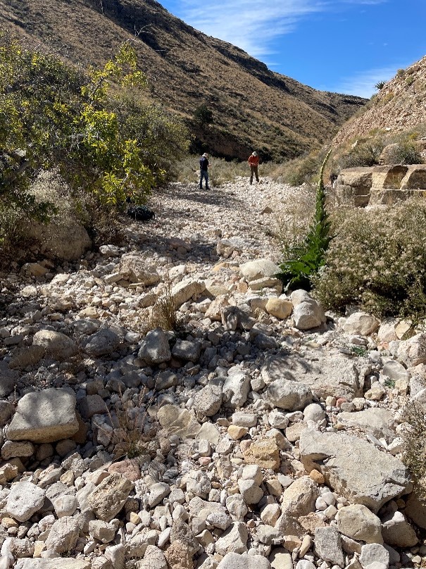
Doing point counts of sediment grain size in the Guadalupe Mountains, Texas and New Mexico, USA
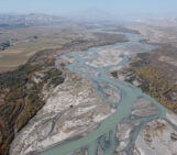
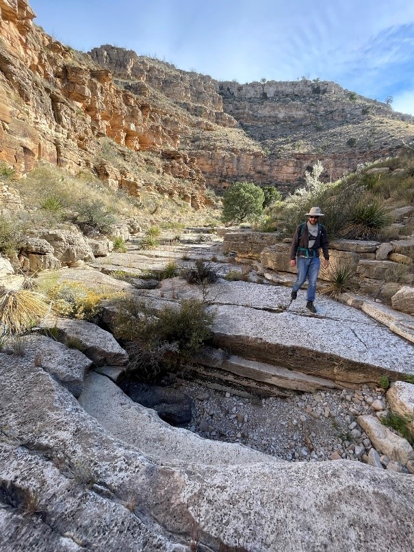
3. Field Studies in the Guadalupe Mountains
To complement my modeling work, I’m conducting field research in the Guadalupe Mountains of Texas and New Mexico. This semi-arid, tectonically inactive region offers diverse lithology, making it ideal for isolating rock properties’ influence on channel morphology. My approach includes:
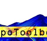
- Regional analysis using TopoToolbox to quantify channel steepness and its correlation with mapped lithology.
- Field measurements of sediment grain size, rock strength, and discontinuity spacing in selected river channels.
- Collaboration with an undergraduate student to develop methods for measuring boulder concentrations and channel width using Google Earth imagery.
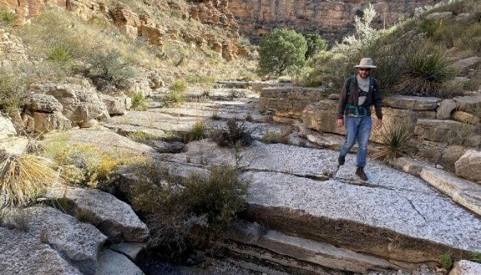
Measuring bedrock properties in the Guadalupe Mountains
The Bigger Picture: Why This Research Matters
Understanding the intricate relationships between rock properties, erosion rates, and channel morphology has far-reaching implications:
- It helps us interpret past climate and tectonic regimes from present-day topography.
- It enables estimation of rock properties from remotely sensed data, which is particularly valuable for planetary sciences.
- It aids in predicting river evolution under different climate scenarios, critical for future environmental planning.
By unraveling the complex yet fundamental processes behind river evolution, we’re not just looking into the past – we’re providing tools to understand and predict how our landscapes might change in the future.
***
All images in this post are from G. Guryan.