This blog post is part of our series: “A day in the life of a geomorphologist” for which we’re accepting contributions! Please contact one of the GM blog editors, Emily or Emma, if you’d like to contribute.
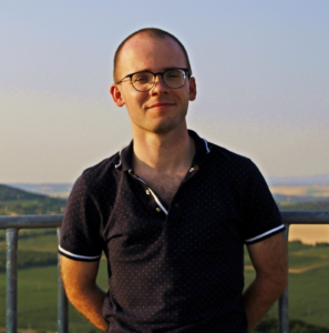
Márton Pál, Cartographer, Earth Scientist, ELTE Eötvös Loránd University, Institute of Cartography and Geoinformatics, Budapest, Hungary
pal.marton@inf.elte.hu
How can we visualise spatial information in an interpretable way? How can we effectively communicate with maps? How can we include maps and geoinformatics in geosciences? These are the questions that I am trying to examine and answer in my research. As a cartographer and geoscientist, I have been dealing with Earth-related spatial information and data. Our planet is a set of dynamic ‘variables’ that require constant mapping.
I am a final-year PhD student, and my research areas mainly focus on geodiversity and geoheritage issues, but I also like to deal with remote sensing, photogrammetry, and other UAV-related topics. Geodiversity is the natural range of unique earth scientific elements and objects that includes their relations, common features, properties, and contribution to landscapes. These geoscientific ‘building blocks’ are geological (rocks, minerals, fossils), geomorphological (landforms, topography), soil and hydrological elements of the inanimate environment that represents the elaborate system that is the surface of our planet Earth.

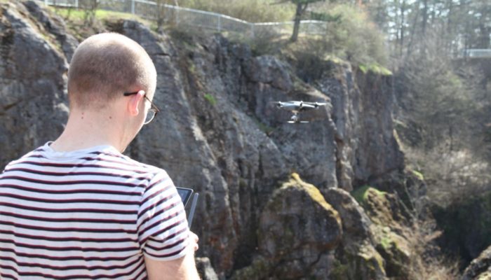
Conducting a UAV survey for 3D modelling at the Paleokarst of Úrkút, Hungary (photo by Krisztina Oláh)
The various values of geodiversity demand unique approaches. For experts who examine the natural environment theoretically and scientifically, intrinsic and scientific values are of primary importance. Economic and functional values contribute to social welfare: geodiversity elements are utilised to produce energy, provide habitats, produce various kinds of material goods, and generate profit through human usage. Educational, cultural, aesthetic, and scientific values are recognisable by the wide public, although the role of inanimate nature usually remains unrecognised or underestimated. These values provide a basis for many social and human activities. Geoheritage, geoconservation and geotourism are also based on the geoscientific diversity of the physical environment.
In this regard, the recognition of the elements of geodiversity contributes not only to environmental protection but also to the education and awareness-rising of people who are receptive to it. Because of these factors, the proper assessment is essential to produce base material for further protection and infrastructural research.
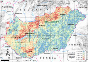
My current examinations are about the quantitative assessment of geodiversity and geoheritage. With these evaluations, we can choose the most important inanimate geosites that require protection, whose scientific message is also worthy of a sustainable tourism presentation. The keyword is sustainability: all geoconservation and geotourism actions require thorough investigations in order to avoid hurting nature, but also to provide geoeducation to raise awareness of the values of the planet. As geodiversity is the basis for life, there is an essential need for protecting its values.
I have participated in EGU conferences since 2018, mostly with geodiversity and geoheritage topics on Hungarian sample areas. I have also been a co-convener two times. As these sessions are in the GM division, I am happy to join the ECS community.
Did you enjoy this blog post? This blog post is part of our series: “A day in the life of a geomorphologist” for which we’re accepting contributions! Please contact one of the GM blog editors, Emily or Emma, if you’d like to contribute.


