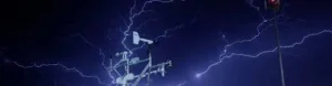
In scientific papers, measuring gases in the atmosphere sounds like a straightforward task: you buy a sensor, you calibrate it, and you let it collect data. However, anyone who worked on this knows that the real atmosphere is a hostile environment for delicate electronics and precision optics. Among humidity saturating your circuits, brutal temperature swings, and the natural drift of components over time, getting a sensor to tell the truth is a monumental challenge.
On this blog, we are stepping away from the flawless charts of peer-reviewed papers to get our hands dirty with hardware and measurement physics thanks to two experts: the first from the Institute of Atmospheric Sciences and Climate Change (ICAyCC) and the second from the Institute of Physical Science (ICF), both in Mexico, who dedicate their days to the vital (and sometimes deeply frustrating) task of designing, calibrating, and deploying the instruments that let us eavesdrop on our planet’s atmosphere.
Information About the Interviewees
Dr. Wolfgang Stremme, Researcher at ICAyCC
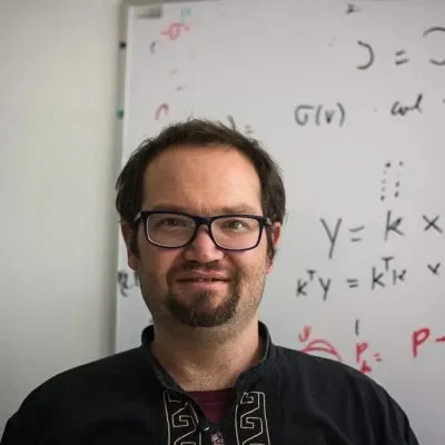
- Research Line: Measuring trace, reactive, and long-lived gases that impact public health, radiation, and climate change.
- The Sensors He Masters: Spectroscopy systems, infrared solar absorption optical instrumentation, and automated solar trackers.
Dr. Andrea Cadena, Researcher at ICF
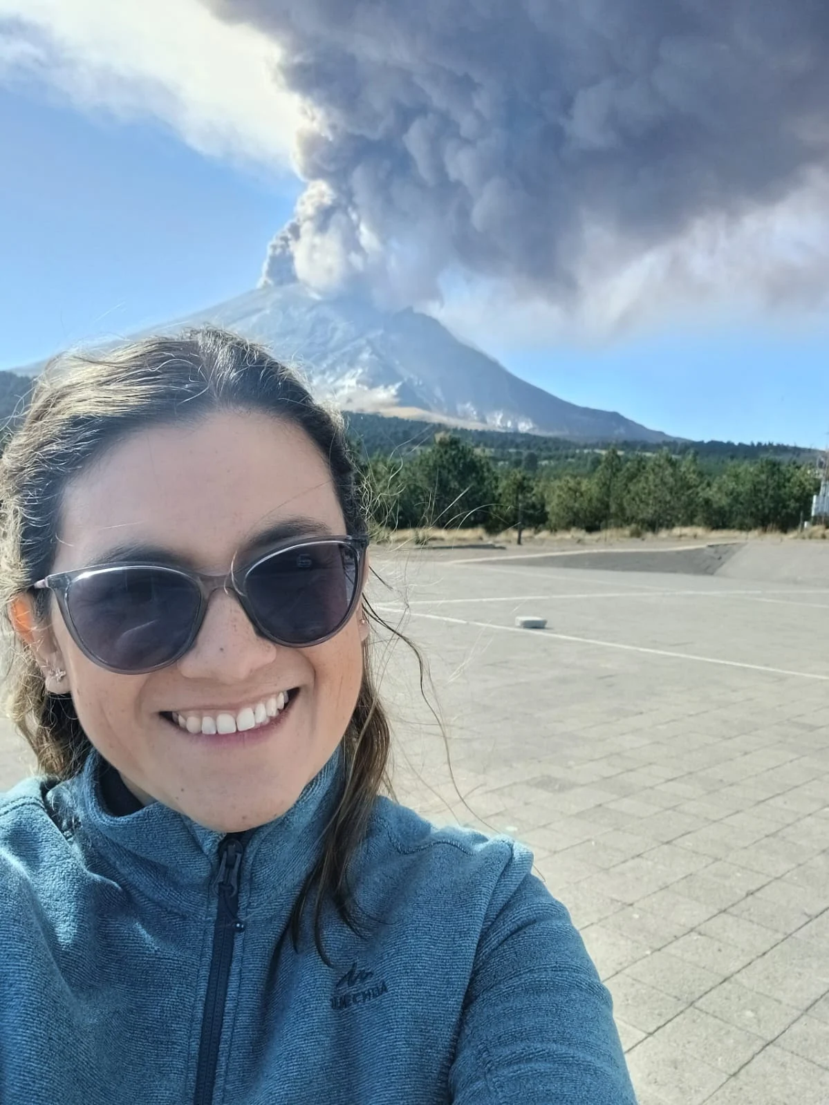
- Research Line: Analyzing the processes, sinks, origins, and lifespans of atmospheric gases, with a special emphasis on formaldehyde and compounds linked to wildfires.
- The Sensors She Masters: FTIR (Fourier-Transform Infrared Spectroscopy) systems based on Michelson interferometry, PANDORA ground-based spectrometers, and satellite data like TROPOMI (Sentinel-5P).
The Heart of the Hardware: Fingerprints and Solar Absorption
To understand how these machines work, you have to visualize the atmosphere as one giant, dynamic filter. Dr Stremme breaks it down fundamentally: these systems are designed to measure trace gases (both highly reactive pollutants that immediately impact human health and long-lived greenhouse gases that trap radiation and drive climate change) by evaluating columns in the atmosphere.
Dr Cadena explains that technologies like FTIR use solar absorption to generate interferograms via Michelson interferometry. This catches a highly specific signal, a literal spectral fingerprint unique to each gas.
By running these through algorithms and radiative transfer models (like HITRAN), the team simulates a theoretical spectrum. They then tweak it using least squares to figure out the actual composition: the exact number of molecules per square centimeter in an atmospheric column, giving us a highly detailed look at the troposphere.
This rounds out the technical explanation perfectly right before they dive into the challenges of keeping that hardware stable. Everything else is ready to roll!
What’s the Technical Challenge That Gives Most Trouble?
Keeping these systems stable in the wild is a non-stop battle against entropy. For Dr Stremme, the ultimate headache is the sheer number of critical components that must play nice together in perfect sync:
“Working with solar absorption in the infrared requires extreme stability and alignment. We don’t have an instrument with an absolute intrinsic value, so we need highly stable systems to get reliable measurements over all kinds of background noise. From keeping a remote connection alive to running the solar tracker, cooling the detector with liquid nitrogen, and calibrating the Fourier transform laser… the real challenge is making everything work at the exact same time. Sometimes you fix one part and another one breaks. Without that synchronicity, your data is compromised.”
Dr Cadena agrees that ground alignment is everything if you want high-quality spectra, highlighting a historical nemesis: solar tracking automation.
“Automated sun-tracking is a massive engineering hurdle. In the summer, the sun rides high in the sky, and in the winter, it’s much lower. When the zenith angle is very high, you lose the signal much more easily. If your automation system lags or runs faster than the sun actually moves, you lose the track, lose the signal, and you’re left with zero spectra.”
Ground Sensors vs. Satellites: Allies or Rivals?
One of the most common misconceptions in atmospheric observations is that satellite measurements have replaced ground-based instrumentation. In reality, as both researchers emphasize, the two approaches are complementary rather than competing: it is the ultimate tag team. Satellites offer incredible global coverage, like TROPOMI’s sun-synchronous polar orbits, but they often suffer from low spatial or temporal resolution, usually taking a snapshot of a single spot just once a day.
That’s where ground instrumentation saves the day. Earth-bound FTIR and PANDORA sensors offer vastly superior temporal resolution, allowing us to track the diurnal cycle of gases and spot long-term trends with insane spectral resolution. The secret sauce here is validation. Ground sensors are used to calibrate space data, cross-check systematic biases, and make sure satellite algorithms aren’t lying to us.
Field Panics and Eurekas in the Wild
Behind every 10- or 20-year dataset is a collection of field stories that define entire scientific careers. For Dr Stremme, a core memory happened during his postdoc in Mexico while taking measurements at Altzomoni, a volcanic station managed by ICAyCC in Popocatepetl volcano. The sheer contrast of switching from measuring crisp, clean mountain air to directly capturing a massive volcanic plume and Mexico City’s urban plume was an unforgettable scientific milestone that proved the raw power of in situ optical instrumentation.
Meanwhile, Dr Cadena remembers the “Eureka!” moment of her own postdoc while crunching a 10-year wildfire database in Mexico. By correlating the data with biomass, she managed to track down the exact sources of the fires and estimate how much gas (like formaldehyde) was being pumped into the atmosphere depending on the season. Her data showed critical peaks in April and May that vanished the moment the summer rains rolled in. This scale of spatio-temporal air quality analysis had never been done in the country with that methodology before.
What Data or Gas Are We Ignoring Today That Will Be Critical in 5 Years?
Looking ahead, both experts point to massive data gaps in the carbon cycle. Dr Stremme warns about our urgent need to get a grip on carbon dioxide and methane emissions and sinks, particularly in regions where ground-monitoring coverage is practically non-existent, like Central America, South America, or southern Mexico (where dense spots like the Calakmul jungle serve as vital forest sinks for the planet).
Dr Cadena is also focusing her radar on the continuous monitoring of air quality and compounds coming from agricultural burning and wildfires. She plans to expand her formaldehyde research into key areas like the Mexican state of Morelos to anticipate and soften the blow on public health and the climate.
A Word of Advice for EGU GI’s Early Career Scientists
To wrap up, the interviewed scientists left us with two golden nuggets of wisdom centered around persistence and the very soul of our division: hardware development.
“There are countless ways to retrieve information using algorithms when processing data, but there will be days when your gear simply refuses to work in the field. The key is persistence. When you’re chasing big scientific breakthroughs, giving up is not an option. Today, we have way more resources and learning tools than we used to; you’ve got to make the most of them.” – Dr. Andrea Cadena
“In our field, it’s easy to just rely on commercial, off-the-shelf instruments and completely ignore custom hardware development. But when you design and build your own optical and mechanical components, you truly understand the system inside out. My advice is to walk both paths: use existing tech to get your results, but never abandon developing your own instrumentation. That’s where the real learning happens.” – Dr. Wolfgang Stremme
At the end of the day, keeping the eyes of science wide open and ensuring our sensors tell the truth in a chaotic world takes a mix of heavy mathematical rigor and old-school engineering ingenuity.
Information from the researchers
Dr. Wolfgag Stremme
ORCID: 0000-0003-0791-3833
Mail: stremme@atmosfera.unam.mx
Web: https://www.atmosfera.unam.mx/ciencias-ambientales/espectroscopia-y-percepcion-remota/wolfgang-stremme-2/
Dr. Andrea Cadena
ORCID: 0000-0003-3274-9115
Mail: andrea.cadena@icf.unam.mx
Web: https://www.fis.unam.mx/directorio/1973/andrea-juletsy-strong-cadena-strong-caicedo