The research gap Ocean tides play a significant role on ocean circulation, coastal processes and mass variations. Tides are generated from the gravitational interaction between Earth, Moon and Sun, which typically results in two high and two low tides observed each day. Satellite observations have vastly expanded our understanding of ocean tides. In 2022, the Surface Water and Ocean Topography (SW ...[Read More]
Tidal pulse of rivers
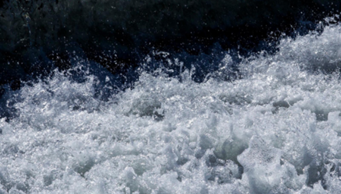
Figure courtesy: Daniel Scherer, DGFI-TUM