G
Geodesy

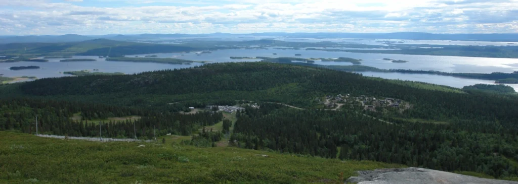
Glacial Isostatic Adjustment

Geodesists on Tour: Circumnavigating Greenland by Helicopter
Geodesists on Tour: Circumnavigating Greenland by Helicopter
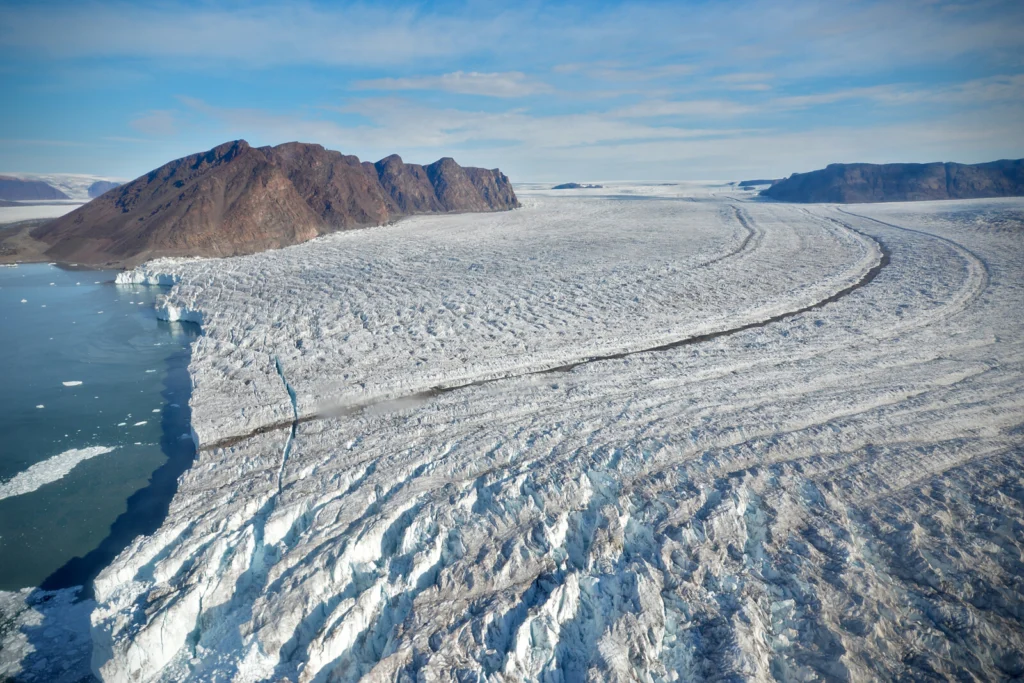
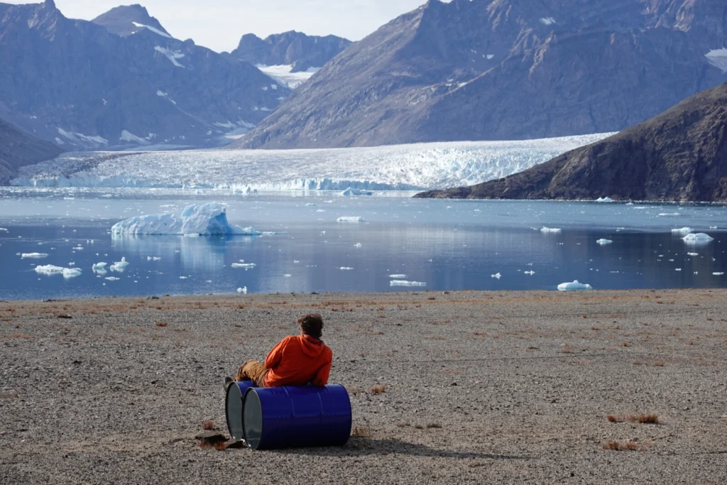
  Greenland, the world’s largest island, has one of the most challenging environments for geodetic measurements. Maintaining GNSS (Global Navigation Satellite Systems) stations here isn’t just about precision – it’s about ensuring data continuity in an area that’s constantly moving. This is the behind-the-scenes story of a 15,000 km journey around Greenland: five weeks of …[Read More]

Calculating postglacial sea-level change within few seconds: a statistical emulator for GIA

Calculating postglacial sea-level change within few seconds: a statistical emulator for GIA

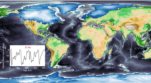
Sea-level change serves as a direct indicator of climate change with profound implications for coastal areas. Since 1900, the global mean sea level (GMSL) has risen over 20 cm, leading to beach erosion, delta inundation, and increased flooding worldwide. Over glacial cycles spanning tens of thousands of years, interactions between ocean and continental-scale ice sheets …[Read More]