It’s this time of the year again when we all meet up in Vienna and talk about our latest scientific results and, more importantly, network with old and new colleagues. The EGU General Assembly (GA) EGU26 will take place again in a hybrid format. The scientific programme consists, as usual, of oral and poster presentations, Pico sessions, networking opportunities, and short courses. All scientific ...[Read More]
What’s up for geodesy during the upcoming EGU26?
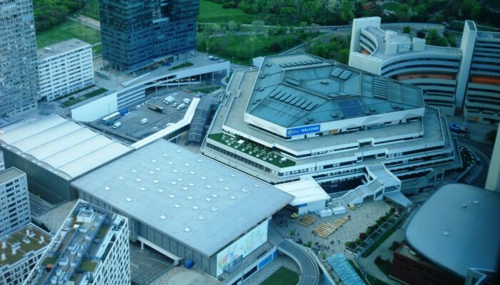
Austria Center Vienna (Picture courtesy: Holger Steffen).