Iceland, the land of ice and fire, is well known for its volcanicity. Most famously, it is home to Eyjafjallajökull: the volcano which caused wide spread mayhem across European airspace when it erupted in 2010. But not all the local volcanic activity is unwelcome. High temperature geothermal areas are a byproduct of the volcanic setting and the energy released can be used to power homes and infras ...[Read More]
Imaggeo on Mondays: harnessing Earth’s inner heat
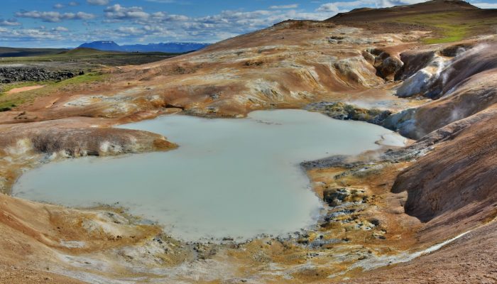
Leirhnjúkur area near Myvatn lake. Credit: Chiara Arrighi (distributed via imaggeo.egu.eu).