This blog post is part of our series: “Highlights” for which we’re accepting contributions! Please contact Emma Lodes (GM blog editor, elodes@asu.edu), if you’d like to contribute on this topic or others.
Interview with Kate Drobnich, PhD student, Department of Geosciences, Colorado State University. Email: kate.drobnich@colostate.edu.
Questions by Emma Lodes.
Can you briefly describe the main objective of your research on Puerto Rico?
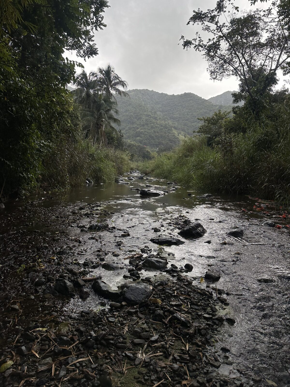
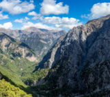
One of the most beautiful field sites. PC: Kate Drobnich.
I am working on a topographic escarpment in Puerto Rico to determine the roll of sediment caliber on bedrock erodibility in the context of escarpment evolution. The objective of this research is to show that despite current interpretations that escarpments rapidly retreat due to a strong topographic asymmetry, across drainage divide grain size differences can explain comparable erosion rates, suggesting minimal migration in the modern.
What is special about the geomorphology there?
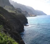
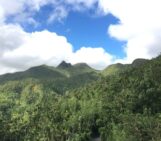
The geomorphology of Puerto Rico is unique for many reasons. First, the variations in precipitation across the island (desert in the SW and a rainforest in the NE). Second, there is a topographic asymmetry that causes a lowland to the South and highlands to the North that experiences a precipitation gradient. The island is directly in line with hurricane tracks, making it a constant target for extreme events.
Why is this island a good place to answer the scientific questions you have?
There are a few stand-out reasons that Puerto Rico is a good place to help answer our question. First, the lithology is relatively homogeneous across the escarpment, composed of predominantly volcaniclastic bedrock, effectively removing the lithologic control on erodibility. Second, the island has a very well constrained recent uplift event (~5 Ma). Third, this specific escarpment is understudied, and its landscape evolution is not well understood.
What methods are you using? Are there any particular advantages and /or disadvantages of the methods?

A photoshopped photo courtesy of Sean, of me and another student eating magnetite (we called pinchos). PC: Sean Gallen.
I am using predominantly three methods for this project! To determine the grain size distribution at each site we conducted Wolman pebble counts (measured the intermediate axis of 100 randomly picked grains from the channel). While I love this method for its ability to determine grain size percentiles for a specific location, it can have issues if a sampling bias is introduced. To try and prevent this, we only used distributions from sites that our lab group measured, since the sampling method was consistent. To calculate basin averaged erosion rates, we mostly used 36Cl from magnetite. While this is a relatively new method and adjustments are actively being made, it is very exciting to be involved in the process. This method has a huge advantage to the scientific community because it greatly expands the locations that erosion rates can be calculated to include places that are extremely quartz-limited (hello island arcs!!). The third method involves measuring channel hydraulics, which is done with a combination of field measurements using a laser range finder, and BankfullMapper on TopoToolbox. BankfullMapper is a great tool for determining channel hydraulics from a DEM!
What were the best and worst aspects or moments of doing field work there?
The best part of doing fieldwork in Puerto Rico was how beautiful the entire island is, waking up every day to go explore the jungle is an incredible experience. Also, sticking a giant neodymium magnet into the river to collect magnetite can be very satisfying! The worst moment doing fieldwork was when I was trying to take a scan of a (mossy) boulder bar and slipped. My shin went straight into a rock, and I still have a bump one year later! Something to remember the island by…
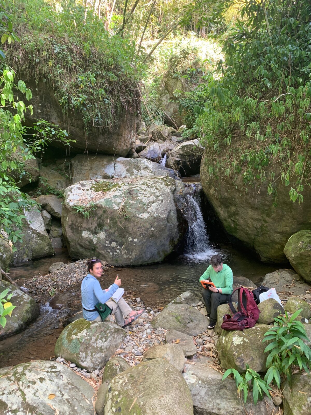
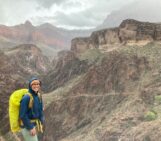
Me and Sean Gallen (my advisor). PC: Kate Drobnich.
How can what you learned on the island be applied elsewhere?
Work relating to the role of sediment caliber on escarpment evolution can (and will hopefully soon) be applied to Great Escarpments globally. The goal is that our work inspires other scientists to deeply consider the importance of sediment in armoring steep channels from erosion, for both escarpments and beyond. In terms of cosmogenic erosion rates, I hope that others can use our progress with magnetite to continue the expansion of this new method!
Anything you’d like to add?
Puerto Rico is a very special and amazing place, if you have the ability to travel to the island for vacation or research, you won’t be disappointed. Plus, the people are amazing!