EGU Blogs

Highlights

GeoLog

When race and natural hazards intersect: three geoscientists share their experiences

When race and natural hazards intersect: three geoscientists share their experiences

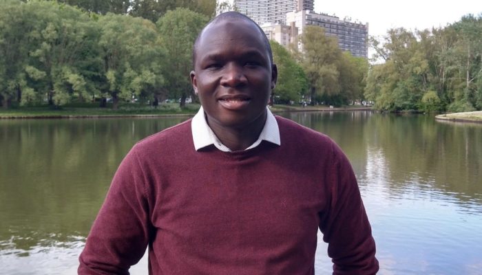
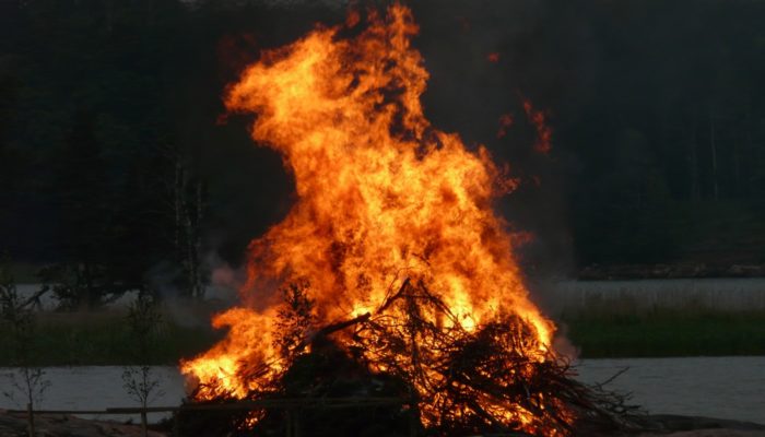
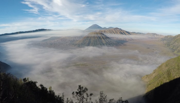
Around the world, the month of October is observed as Black History Month and includes the International Day for Disaster Reduction. While both these observances are significant in their own right, it gave EGU the opportunity to hear from geoscientists of Black, Indigenous, and People of Colour (BIPOC) communities about the many ways that race and natural hazards are linked: does one affect the ot ...[Read More]

GeoLog

Imaggeo On Monday: Drought – a prerequisite for hazardous flash floods

Imaggeo On Monday: Drought – a prerequisite for hazardous flash floods

The drying out of the soil leads to the hazard of flash floods in the wadis of the Dead Sea Valley during sparse but strong rain events. During longer precipitation-free periods and extreme low relative humidity, driven by mesoscale wind, the soil crust ultimately tends to break into piece. Photo by Stefan Schmitt, description from imaggeo.egu.eu.   Imaggeo is the EGU’s online open access geo ...[Read More]

GeoLog

GeoPolicy: Connect with artists to make your science accessible to policymakers and the public

GeoPolicy: Connect with artists to make your science accessible to policymakers and the public

Communicating with the public and policymakers enables scientists to share their passion with those outside of their field and create greater impact. Often when scientists consider engaging non-experts, they imagine public lectures or blog posts, but finding more creative ways to communicate scientific information can be both rewarding and incredibly effective. This month’s GeoPolicy Blog post is ...[Read More]

GeoLog

Imaggeo On Monday: Plume of steam rising from the crater of Mount Erebus, Antarctica

Imaggeo On Monday: Plume of steam rising from the crater of Mount Erebus, Antarctica

Plume rising from Mount Erebus on a rare calm day. This 3794 m high volcano is the most active in Antarctica and close to the American base at McMurdo. Photo by Martyn Unsworth, description from imaggeo.egu.eu.   Imaggeo is the EGU’s online open access geosciences image repository. All geoscientists (and others) can submit their photographs and videos to this repository and, since it is open ...[Read More]

GeoLog

GeoTalk: meet Blaise Nyandwi, researcher in public perceptions of volcanic hazards!

Blaise Mafuko Nyandwi

Thanks for joining us today Blaise! To begin, could you talk about your background and why you pursued research on people’s perceptions of natural hazards? I have a background in geology and environmental sciences. Goma is my hometown and I work as a lecturer at the University of Goma. Living and working in a city built on lava flows and permanently threatened by several hazards from Nyiragongo vo ...[Read More]

G
Geodesy

EGU Campfire Geodesy – Share Your Research – Sixth Edition

EGU Campfire Geodesy – Share Your Research – Sixth Edition

  We all welcome you around our sixth EGU Geodesy Campfire to listen to two exciting talks by Eva Börgens and Jesse Reusen. The Geodesy EGU Campfire Events “Share Your Research” give (early career) researchers the chance to talk about their work. Below you can find detailed descriptions about their talks. We will have time for networking after the presentations. Please join us on Zoom on Octo ...[Read More]

GeoLog

Imaggeo On Monday: Morning view of volcanoes in Java, Indonesia

Imaggeo On Monday: Morning view of volcanoes in Java, Indonesia

Tengger Caldera is a volcanic complex consisting of five overlapping stratovolcanoes (Mounts Batok, Bromo, Kursi, Watangan and Widodaren) forming out of the ancient volcano Tengger, which was formed about 820,000 years ago, situated in East Java, Indonesia. In this panoramic view are visible Mount Batok (in the front; an inactive volcano with lush green vegetation on its rises), Mount Bromo (the s ...[Read More]

GeoLog

Glacial lake outburst floods: What we know about this destructive ice hazard

Glacial lake outburst floods: What we know about this destructive ice hazard

Glacial lake outburst floods are among the most concerning consequences of retreating glaciers in mountain ranges around the world. Although the phenomenon isn’t a new one, it has increasingly become the focus of research efforts in the last two decades, with many scientists seeing these floods as an emblematic symptom of climate change. This blog sheds some light on this lesser-known geological e ...[Read More]

GeoLog

GeoPolicy: Building stronger and more diverse communities at the science-policy interface

GeoPolicy: Building stronger and more diverse communities at the science-policy interface

There are numerous reasons why we should want to build stronger and more diverse scientific communities. Greater inclusivity leads to innovation, expands the pool of ideas, broadens perspectives, and encourages more people to engage. Strong and diverse scientific communities allow us to go beyond the information we can produce on our own and scale our research outcomes. But one reason not often ci ...[Read More]