Earth Engine is a tool produced by the developers at Google to help scientists process the numerous satellite images taken of the Earth over the past thirty years.
Short videos are available online to give you some idea how this tool could be used. One shows the expansion of Las Vegas, and the accompanying drop in nearby lake levels, another the effects of coal mining in Wyoming. But you can zoom to anywhere in the world.
For those that know how to code in Python (not a snake, apparently), you can sign up to develop your own images and timelapse videos. Google are offering up their huge CPU power free of charge. Google’s Eric Engle explains that there are currently 1500 users, but there is space for more. ‘This tool was built for scientists. We want you to sign up, and then let us know what data and algorithms are missing that could help you with your research’.
Most spots on the Earth’s surface are passed over by a satellite every 7-16 days, depending on the latitude. After images have been through quality control, to remove those obscured by clouds, most regions are left with around 20 images per year. The images can be combined to create a single annual or seasonal image. The software builds the user a personal image from scratch, depending on their requirements, in as little as ten seconds.
The platform is only a few years old, but is already having impact. Earth Engine has been used by Professor Matt Hansen, a researcher at the University of Maryland, to produce a globally consistent 21st century maps of forest cover change. His estimates of deforestation rates are some of the first to be widely accepted within both scientific and political communities. In his paper, published in Science in 2013, he shows that Brazil are doing a good job of slowing deforestation rates, whereas in Indonesia deforestation is on the up.
In the time I was chatting to Eric, he computed a world map showing changes in light intensity. The map highlighted regions of urban growth, and places that have experienced rapid development, as well as more subtle changes. The lights around Los Angeles dimmed, following a decision by city hall to switch their streetlights to lower wattage bulbs.
With a little coding input, this tool offers a low-cost way to monitor the change that humans are having on the landscape and environment, as well as the effects of key events such as volcanic eruptions or landslides.
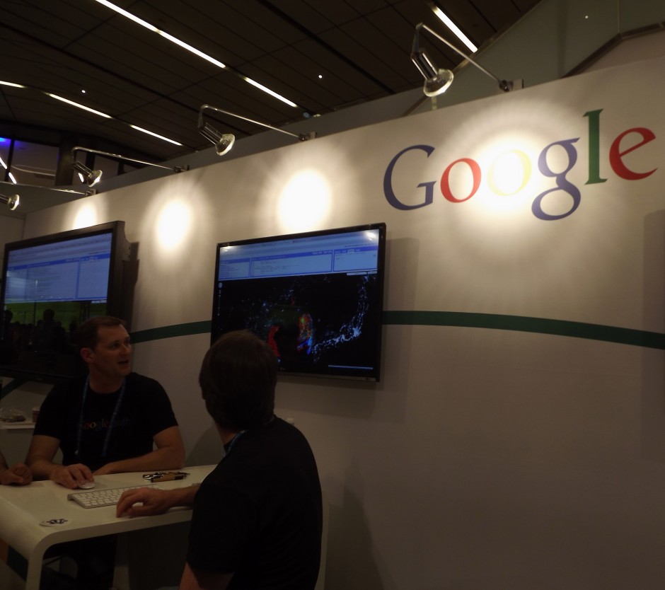
Google have a stand (04, ground floor) at EGU 2014 all week, we recommend you go along and chat to the experts if you’re interested in using Earth Engine for your research.
13078829
Thanks for a great post
As an undergraduate student in earth science field, this a very important post to me.
I really like doing researches and looking forward to learn and discover important field in earth science researches and i read and understood the post, it will open more opportunities for us future earth scientists during our career journey…I’m looking forward to learn more on this Earth search engine