On the 25th April 2015, Viktor Bruckman, a researcher at the Austrian Academy of Sciences, and a team of his colleagues were a few hours into a hike between the settlements of Lamabagar, in a remote area of northeastern Nepal, and the Lapchi Monastery when a magnitude 7.8 earthquake struck Nepal. Their journey cut short by the trembling Earth, stranded in the heights of the Himalayas, this is thei ...[Read More]
The day the Earth trembled: A first-hand account of the 25 April Nepal earthquake
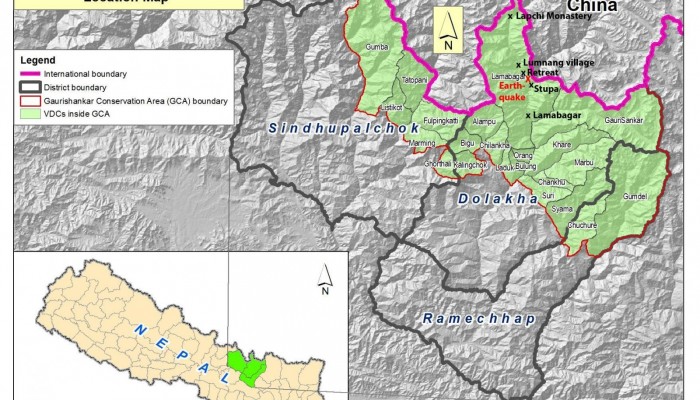
Map of Gaurishankar Conservation area (GCA) including respective Village Development Committees (VDC’s) and localities within the Tamakoshi River valley that are mentioned in this post (by NTNC, the National Trust for Nature Conservation, Lalitpur, Nepal).