Yosemite’s Half Dome stands, majestic, over a granite dominated terrain in the Yosemite Valley area; one of the most beautiful landscapes in northern America, and arguably, the world – it is also an Earth scientist’ playground. Stamped into the west slope of the Sierra Nevada range, the Yosemite Valley is a collection of lush forests, deep valleys, meandering rivers and streams, all punctua ...[Read More]
Imaggeo on Mondays: Half dome at sunset
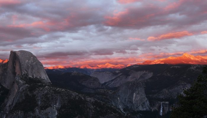
Half dome at sunset . Credit: Alessandro Demarchi (distributed via imaggeo.egu.eu)