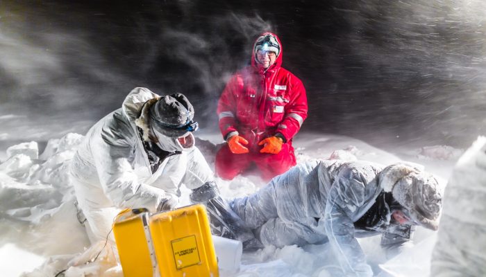
Much of the Antarctic continent is fringed by ice shelves. An ice shelf is the floating extension of a terrestrial ice mass and, as such, is an important ‘middleman’ that regulates the delivery of ice from land into the ocean: for much of Antarctica, ice that passes from land into the sea does so via ice shelves. I’ve been conducting geophysical experiments on ice for over a decade, using mostly s ...[Read More]
Back to the Front – Larsen C Ice Shelf in the Aftermath of Iceberg A68!
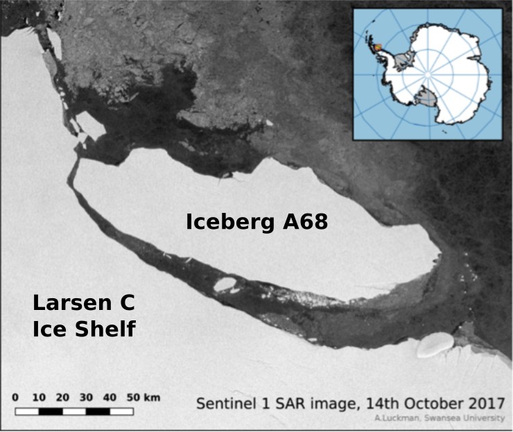
Figure 1: A68 sets sail from Larsen C.
Sentinel 1 SAR image [Credit: Adrian Luckman, Swansea University].
Sentinel 1 SAR image [Credit: Adrian Luckman, Swansea University].

